
How Digital Twins Change the Way Developers Present New Neighborhoods
Discover how property developers use contextual digital twins to showcase new developments within their wider neighborhoods, highlighting local amenities, transit routes, and future phases.
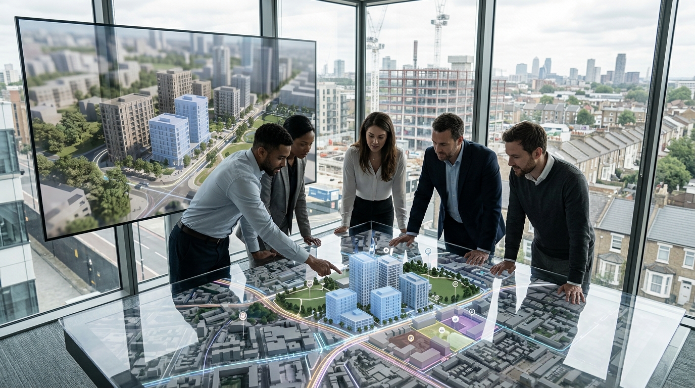
Property developers have long struggled to convey the true value of unbuilt projects, often relying on static renderings that isolate a building from its surrounding community. Today, contextual digital twins are transforming this process by placing planned developments into an interactive, photorealistic three-dimensional representation of their actual neighborhoods.
Defining the Contextual Digital Twin in Real Estate
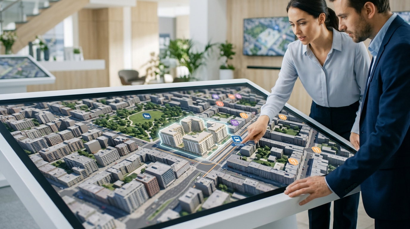
A contextual digital twin is a highly accurate, interactive virtual replica of a physical environment. Unlike traditional architectural models that focus solely on the building envelope, a contextual twin integrates the planned development directly into the surrounding urban or suburban landscape. It combines licensed geospatial imagery, terrain data, and architectural assets to create a unified, navigable space.
For real estate professionals, this technology represents a shift from showing what a building looks like to showing how a building lives. Buyers and tenants rarely make decisions based on the property alone. They invest in the neighborhood, the proximity to daily conveniences, the local school districts, and the overall lifestyle of the area.
By utilizing platforms like Georivo, developers can easily generate these contextual environments without the massive budgets historically required for custom software development. This democratizes access to advanced visualization tools, allowing boutique developers and large-scale homebuilders alike to present their projects with unprecedented geographic clarity.
Shifting from Isolated Renderings to Neighborhood Context
Traditional architectural renderings are designed to show a project in its best light, but they often do so by isolating the building from its actual surroundings. Neighbors are cropped out, busy streets are replaced with quiet parks, and the true density of the area is obscured. While visually appealing, this approach can lead to skepticism from savvy buyers and local planning boards.
Contextual digital twins address this skepticism by offering transparency. By placing the 3D model of a planned development into a photorealistic, licensed geospatial map, developers show exactly how the project fits into the existing skyline. This level of realism builds trust, as stakeholders can verify views, solar orientation, and proximity to adjacent buildings.
This transparency is particularly valuable during the pre-sales phase. When buyers can see the actual neighborhood surrounding their future home, they feel more secure in their purchase. They can explore the streets, check the distance to the nearest grocery store, and understand the physical reality of the location before construction even begins.
Visualizing Future Phases and Master Planned Communities
Multi-phase developments and master-planned communities present a unique communication challenge. Developers must sell early phases of a project while helping buyers visualize what the entire community will look like ten or fifteen years down the road when subsequent phases are completed.
Digital twins solve this by allowing developers to layer future phases over the current landscape. Users can toggle between different construction phases, viewing the evolution of the site from a raw plot of land to a fully realized community. This helps manage buyer expectations regarding ongoing construction while maintaining excitement for the long-term vision.
Furthermore, this capability helps commercial tenants understand how the local demographics and foot traffic will shift as new residential phases are delivered. It turns a complex master plan into an intuitive, visual timeline that anyone can understand at a glance.
Mapping Transit Routes and Local Amenities
A property's value is heavily tied to its accessibility. Highlighting nearby transit hubs, highway access, schools, and parks is a core component of any real estate marketing campaign. However, static maps with simple pins fail to capture the actual experience of moving through the neighborhood.
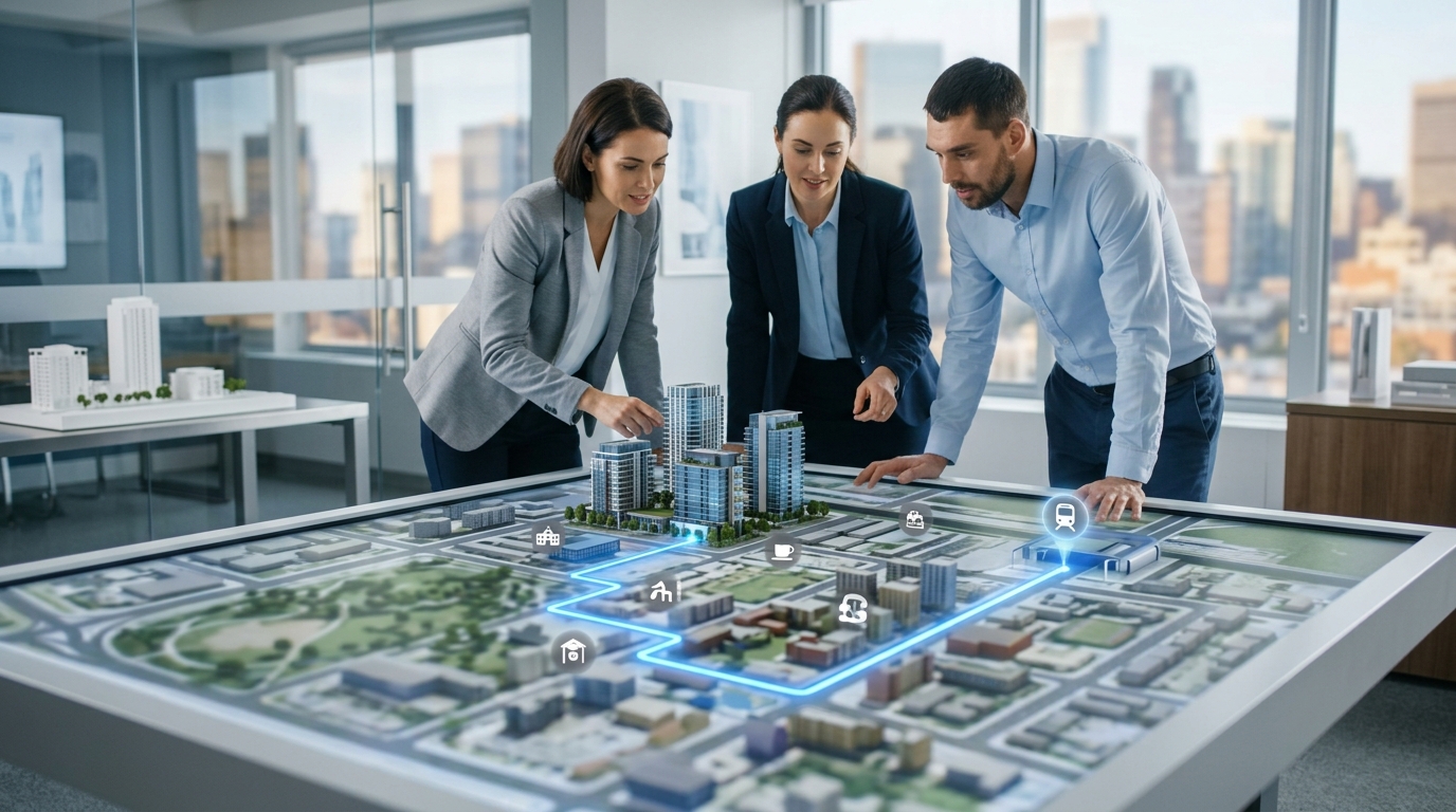
With a contextual digital twin, developers can program guided camera movements that trace the actual path from the property's front door to key local amenities. Viewers can fly along the walking route to the subway station, visualising the sidewalks, crosswalks, and streetscapes they would encounter on their daily commute.
This active storytelling transforms abstract distances into concrete visual journeys. Instead of telling a buyer that the park is five minutes away, the developer can show them the exact path, reinforcing the convenience and lifestyle benefits of the location.
Distinguishing Location Twins from Operational Building Twins
As the term digital twin grows in popularity, it is important to distinguish between different applications of the technology. Operational building twins are complex, data-heavy systems used by facility managers to monitor HVAC performance, energy usage, and structural integrity using real-time IoT sensors.
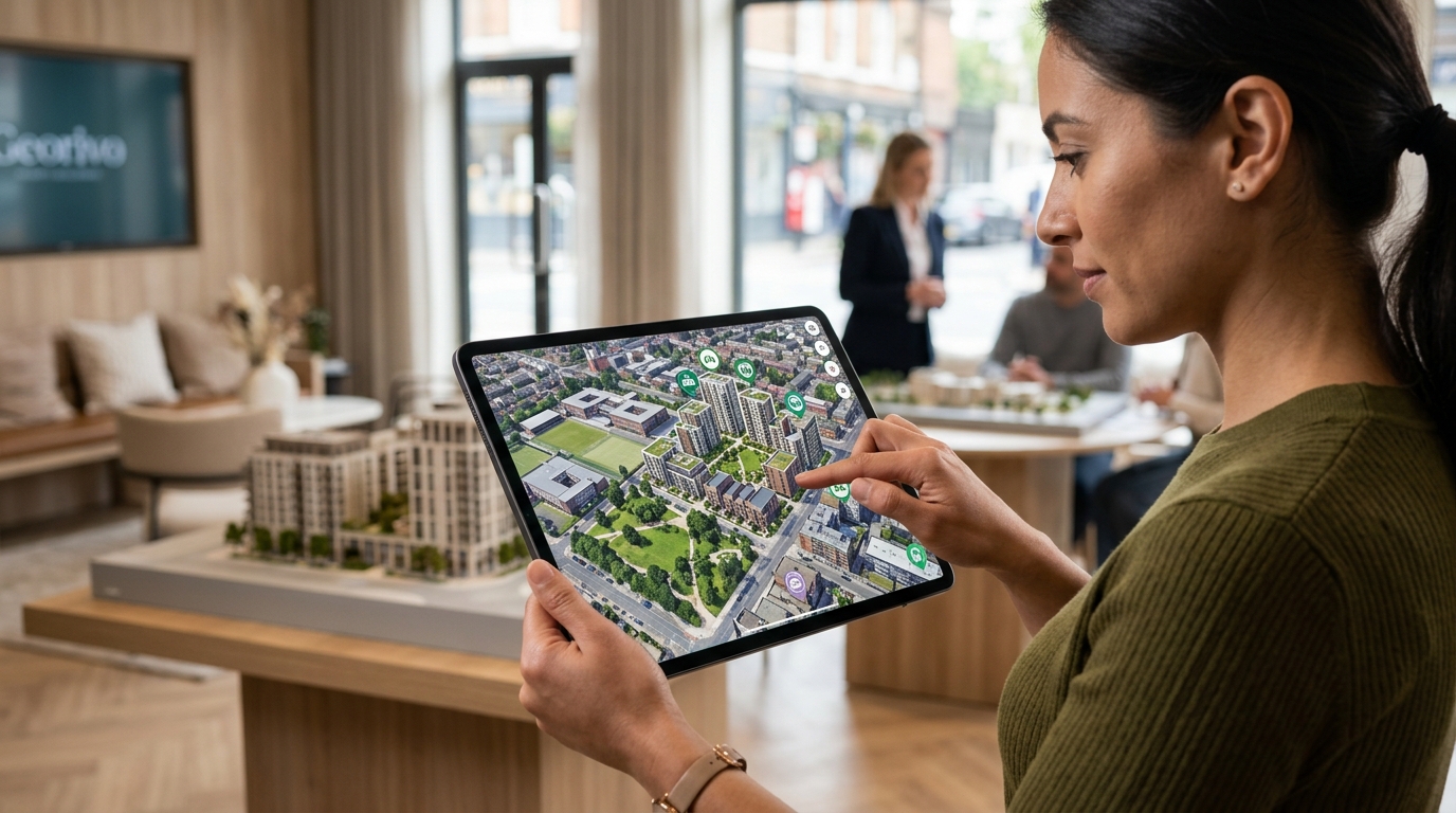
In contrast, a location-story twin is designed specifically for communication, marketing, and sales. It prioritizes visual fidelity, ease of use, and geographic context over operational telemetry. The goal is not to monitor the building's internal systems, but to communicate its external relationship with the world.
Because location twins do not require deep integration with building management systems, they can be deployed quickly and shared easily via web browsers. This makes them highly agile tools for marketing teams, leasing agents, and developers who need to move quickly to capture market interest.
Overcoming the Limitations of Physical Drone Footage
Historically, developers relied on drone photography and video to capture neighborhood context. While effective, physical drone shoots are expensive, weather-dependent, and subject to strict local airspace regulations, especially in dense urban environments.
Furthermore, drones cannot film a building that has not yet been built. Combining drone footage with 3D renderings requires complex, expensive post-production work. If the architectural plans change, the entire process must be repeated, leading to high costs and project delays.
Contextual digital twins bypass these hurdles entirely by using licensed, pre-existing geospatial data. Developers can generate flyovers and camera paths instantly, updating the presentation whenever the architectural design evolves. This digital-first approach ensures that marketing materials are always accurate and up to date.
Interactive Exploration After Playback
Standard video presentations are passive experiences. Once the video ends, the viewer's engagement stops. Contextual digital twins change this dynamic by transitioning into a live exploration mode after the initial guided tour is complete.
After watching a programmed camera path highlighting the neighborhood's key features, prospective buyers can take control of the camera. They can zoom in, pan around, and explore the surrounding blocks at their own pace, looking at the things that matter most to them personally.
This interactive element significantly increases the time spent on the listing page. It transforms a passive marketing pitch into an active discovery process, fostering a deeper sense of connection and confidence before the buyer ever speaks to an agent.
Implementing Contextual Twins in Your Marketing Workflow
Integrating digital twins into your existing marketing stack is simpler than it sounds. Platforms like Georivo allow you to upload your property address, select key local landmarks, and generate a shareable link or embed code in minutes.
These embeds are domain-bound for security, ensuring your proprietary visualizations remain on your official website. They work seamlessly across desktop and mobile devices without requiring specialized plugins or heavy downloads, ensuring a smooth user experience for all visitors.
By adopting this technology early in the pre-sales phase, developers can build a cohesive, engaging narrative that carries through from initial zoning approvals to final unit sales, establishing a modern standard for property presentation.
| Feature | Traditional Renderings | Physical Drone Footage | Operational Twins | Contextual Location Twins |
|---|---|---|---|---|
| Primary Purpose | Static design visualization | Aesthetic aerial footage | Facility management and IoT | Marketing and neighborhood context |
| Interactivity | None (static images) | None (passive video) | High (technical data) | High (user-led exploration) |
| Deployment Speed | Slow (days to weeks) | Slow (weather dependent) | Very slow (months) | Fast (minutes to hours) |
| Cost Level | Medium | High | Very High | Low to Medium |
| Update Flexibility | Low (requires re-rendering) | None (requires re-shooting) | Medium | High (instant digital updates) |
Steps to Deploy a Contextual Digital Twin for Your Next Development
- Identify the target property address and gather any existing 3D architectural models or site plans.
- Select key neighborhood landmarks, transit hubs, and local amenities that define the property's lifestyle value.
- Program the camera path to guide viewers logically from the wider neighborhood context down to the specific property site.
- Customize the visual style and add descriptive labels or tooltips to highlight important selling points along the route.
- Embed the interactive 3D story directly onto your project landing page using domain-secured embed codes.
- Analyze viewer engagement and update the presentation as new phases of the project are announced.
Contextual digital twins have bridged the gap between what our architects see in their plans and what our buyers need to feel before making a purchase. It turns a dot on a map into a living neighborhood story.
FAQ
What is the difference between a digital twin and a standard 3D rendering?
Standard 3D renderings show the building in isolation, often with artificial or generic backgrounds. A contextual digital twin places the building model into a photorealistic, accurate 3D map of the actual physical neighborhood.
Do I need physical drone footage to create a contextual digital twin?
No. Platforms like Georivo use licensed geospatial imagery to construct the 3D environment, removing the need for expensive, weather-dependent drone shoots and airspace permits.
Can potential buyers interact with the digital twin on mobile devices?
Yes. Modern contextual digital twins are optimized for web browsers and work seamlessly on both mobile phones and tablets without requiring any app downloads.
How do digital twins help with local planning and zoning approvals?
By showing the project in its exact physical context, developers can clearly demonstrate building heights, sightlines, and architectural integration to planning boards, reducing misunderstandings and accelerating approvals.
Is it difficult to update the digital twin if our project design changes?
Not at all. Because the visualization is digital and cloud-based, you can update your 3D models or adjust the programmed camera paths instantly without starting from scratch.
Can we use digital twins for multi-phase master planned communities?
Yes. You can visualize different phases of construction over time, allowing buyers to see what the neighborhood looks like today and how it will evolve over the next decade.