Georivo Pricing for Interactive 3D Property Widgets
Preview Georivo free, then publish up to 10 live 3D property widgets with 1,000 visitor-started plays per month for €49 per month.
Georivo Solo
- 10 active published widgets
- 1,000 visitor-started 3D plays each month
- Protected share links and domain-bound embeds
Georivo lets anyone check a supported address and preview a live 3D location story for free. Publishing requires the Georivo Solo subscription at €49 per month. The current plan includes up to 10 published widgets and 1,000 visitor-started 3D plays per month, together with protected share links, domain-bound embeds, a dashboard, and subscription management through Stripe.

What is included in the free preview
Georivo offers a transparent, self-service method to evaluate our 3D visualization capabilities before committing to a paid plan. Anyone can access our homepage, enter a specific property address, and trigger an automated coverage check. This check queries the licensed geospatial database to confirm if photorealistic 3D imagery is available for that precise location. This initial step ensures that real-estate professionals can verify visual availability for their listings before making any financial commitment.
Once coverage is confirmed, you can use our interactive web-based editor to configure your Location Story. This interface allows you to set up programmed camera movements, adjust viewing angles, and select nearby points of interest to establish neighborhood context. The entire configuration is rendered live in your browser using WebGL technology, enabling you to experience the exact visual quality, camera transitions, and interactive controls before making a purchase decision.
However, the free preview is strictly limited to local, in-browser evaluation. It does not grant any entitlement to generate a public share link or copy an iframe embed code. You cannot share the preview with clients, send a link via email, or display the interactive map on your website. To unlock public sharing and embedding capabilities, you must upgrade to our paid subscription tier.
What Georivo Solo includes
The Georivo Solo plan is our core subscription designed for real-estate agents, property marketers, developers, hospitality teams, and destination teams who need to publish interactive 3D maps. For forty-nine euros per month, subscribers receive full publishing rights and access to our secure hosting infrastructure. This plan provides a professional, streamlined workflow for managing active property listings without requiring advanced technical skills.
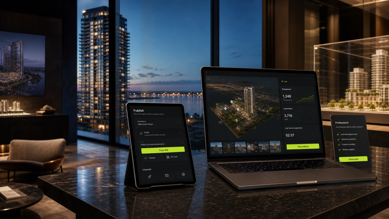
Subscribers gain access to a personal dashboard where they can save multiple property previews, manage active widgets, and monitor usage metrics. The dashboard serves as a central administrative hub, making it easy to update camera paths, modify highlighted points of interest, or toggle the publishing status for any property in your portfolio. This centralized control ensures you can manage your marketing assets efficiently.
In addition to hosting and management tools, Georivo Solo provides advanced security features to protect your digital assets. This includes the ability to generate protected opaque share links and domain-bound iframe embed codes. These features ensure your interactive location stories are only displayed where you intend them to be, protecting your subscription resources from unauthorized distribution.

Published widget and play limits
To maintain optimal performance and fair resource distribution across our hosting infrastructure, the Georivo Solo plan operates under defined usage limits. Subscribers can have up to ten active published widgets at any given time. A published widget is defined as a saved location story configuration that has been made live, generating an active share link or an authorized iframe embed code. This limit allows professionals to manage multiple active listings concurrently.
The subscription also includes one thousand visitor-started 3D plays per month. A play is counted when a unique visitor loads your web page and interacts with the 3D widget, triggering the programmed camera movement. This metric tracks active engagement with the live, browser-rendered 3D map. This allocation is designed to accommodate standard marketing traffic for independent residential listings and boutique portfolios.
It is critical to note that usage above these included limits is not promised or supported by the standard Solo plan. If your listings attract exceptionally high traffic or if you need to publish more than ten widgets simultaneously, you should note that the standard subscription does not automatically scale beyond these boundaries, and alternative arrangements or overage options are not guaranteed on this page.
Protected share links and domain-bound embeds
Protecting your marketing investments and maintaining exclusive control over your listings is vital. Georivo Solo includes protected opaque share links that use secure, randomized, non-sequential URLs. This design prevents competitors, scrapers, or unauthorized third parties from guessing your other active property widgets or accessing unpublished drafts in your account, ensuring your property details remain secure.
For seamless website integration, the plan provides domain-bound iframe embed codes. When configuring an embed, you specify the authorized domains where the widget is allowed to load. If the iframe code is copied and pasted onto an unauthorized website, the 3D map will automatically block rendering. This security feature protects your brand and prevents unauthorized consumption of your monthly visitor play limits.
The dashboard also features instant link rotation, revocation, and restoration controls. If a property is sold or a listing agreement ends, you can immediately revoke the active link or embed code, rendering it inactive. If you need to reactivate a listing later, you can restore the widget with a single click without losing your original camera configurations or point-of-interest selections.

How subscription and billing work
Georivo uses Stripe to process all subscription payments securely. The Georivo Solo plan is billed on a recurring monthly basis at forty-nine euros per month. This transparent pricing model allows real-estate professionals to plan their marketing budgets without worrying about hidden fees, setup costs, or long-term contract commitments. The subscription automatically renews each month until canceled.
Once subscribed, you can access the Stripe Customer Portal directly from your Georivo dashboard. The portal provides a secure self-service environment where you can update payment methods, view and download past invoices, and monitor your subscription status. You can cancel your subscription at any time, and your active widgets will remain online until the end of your current billing cycle.
Please note that taxes and payment-method availability can depend on checkout context, such as your country of residence or business registration. Any applicable local taxes, such as Value Added Tax, will be calculated dynamically and displayed clearly on the secure Stripe checkout page before you complete your purchase, ensuring full compliance with local financial regulations.
Who the plan suits
The Georivo Solo plan is tailored for real-estate professionals who want to elevate their property marketing with interactive visual context. This includes residential real-estate agents, property developers, hospitality teams, and destination marketers who need to explain where a property is located and what surrounds it. The plan supports three primary flows: Property Showcase, Neighborhood Story, and Arrival Guide.
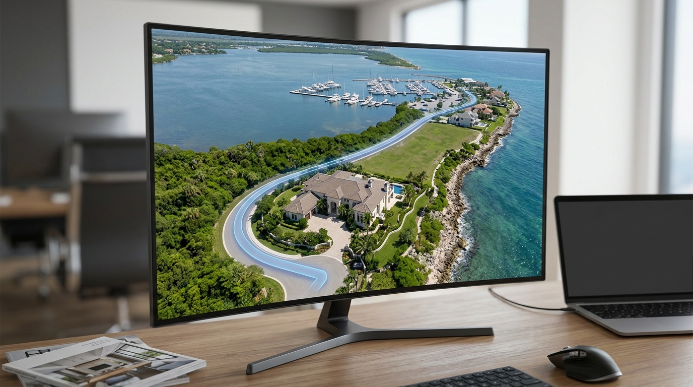
The plan is highly suited for those looking for a compliant, cost-effective alternative to physical drone production. While physical drone footage requires hiring pilots, obtaining permits, and waiting for favorable weather, Georivo uses licensed geospatial imagery to generate instant, interactive 3D visualizations directly in the browser. It is important to clearly distinguish this visualization from physical drone footage: Georivo renders existing licensed 3D maps programmatically, allowing live exploration after playback, whereas drone footage is a pre-recorded video file.
If you manage a rotating portfolio of active listings and want to give prospective buyers the ability to explore the neighborhood, nearby transit, and local amenities at their own pace, the Solo plan provides the perfect balance of features, security, and affordability. Additionally, these 3D visualizations are intended for marketing and location storytelling only; they do not establish, prove, or represent legal property boundaries.
What is not included
To ensure clear expectations, it is helpful to understand the boundaries of the Georivo Solo plan. First, the plan does not include downloadable MP4 video files. Because Georivo is built on live browser-rendered 3D maps, the output is fully interactive and must be viewed within our web-based iframe widget or through our share links. It cannot be exported as a static video file for offline playback or upload to video-only platforms.
Second, the plan does not include custom aerial photography or manual imagery updates. The photorealistic 3D imagery is provided via Google Maps Platform, and Georivo cannot request custom drone flights or update the imagery for specific properties. The visual quality, age, and availability of the 3D models are determined entirely by the provider, reflecting only the imagery currently available in their database.
Finally, the standard Solo plan does not support multi-user team accounts, custom branding removal, or API access. It is designed as a single-user subscription for independent professionals. If you require advanced team collaboration, white-label solutions, or programmatic API integration, those features are not included in this tier and are outside the scope of this subscription.
Limitations and suitability
While Georivo Solo is an excellent tool for many properties, there are specific limitations and suitability boundaries that you must verify before subscribing. Most importantly, publishing still requires supported coverage for each property. If the underlying provider does not have photorealistic 3D data for your specific address, the widget cannot render, and a 3D location story cannot be generated.
Furthermore, live 3D imagery quality and availability depend entirely on the provider. In some rural areas, smaller towns, or newly constructed subdivisions, 3D mesh data may be low-resolution, outdated, or completely unavailable. We strongly recommend using our free preview tool to check each address and review the live browser-rendered 3D preview before publishing or purchasing a subscription.
Additionally, because the 3D map is rendered live in the visitor's browser using advanced WebGL technology, performance can vary depending on the visitor's device and internet connection speed. Older mobile devices or slow networks may experience lag during camera transitions. Understanding these technical constraints ensures you can set appropriate expectations for your clients and website visitors.
| Feature | Free Preview | Georivo Solo Plan |
|---|---|---|
| Address Coverage Check | Included | Included |
| Live 3D Preview in Browser | Included | Included |
| Active Published Widgets | None | Up to 10 active widgets |
| Monthly Visitor Plays | None | 1,000 visitor-started plays |
| Domain-Bound iframe Embeds | Not available | Included (with domain lock) |
| Opaque Share Links | Not available | Included (with revocation) |
| Billing & Management | No credit card required | Stripe Customer Portal |
Steps to Publish Your First 3D Location Story
- Enter a property address on the Georivo homepage to verify live 3D coverage.
- Configure your location story camera movements and highlight nearby points of interest.
- Review the live browser-rendered 3D preview to ensure the visualization meets your requirements.
- Subscribe to the Georivo Solo plan for forty-nine euros per month through our Stripe checkout.
- Generate your protected opaque share link or configure your domain-bound iframe embed code.
- Embed the interactive 3D widget on your authorized real-estate website or share the link directly.
By rendering live 3D geospatial imagery directly in the browser, Georivo Solo provides real-estate marketers with an interactive alternative to physical drone footage, allowing prospective buyers to explore the surrounding neighborhood context at their own pace.
Explore Georivo
FAQ
Can I test Georivo before entering my credit card details?
Yes. Anyone can enter a supported address and preview a live 3D location story for free on our website without providing a credit card. You only pay when you decide to publish.
What happens if a widget exceeds the monthly visitor play limit?
The Georivo Solo plan includes 1,000 visitor-started plays per month. Usage above these included limits is not promised by this page, and further options are not currently offered.
Can I download the 3D visualization as an MP4 video file?
No. Georivo provides an interactive, live browser-rendered 3D map experience. The plan does not include downloadable MP4 video files.
How does domain-bound embedding protect my widgets?
Domain-bound embeds restrict your iframe code so that it only renders on the specific website domains you authorize, preventing competitors from copying your interactive maps.
Can I cancel or manage my subscription at any time?
Yes. All billing is handled securely through Stripe. You can access the Customer Portal at any time to manage your payment methods, view invoices, or cancel your subscription.
Is 3D imagery coverage guaranteed for every address?
No. Live 3D imagery quality and availability depend entirely on the underlying provider. We recommend using our free preview tool to verify coverage for each property address before publishing.