How Georivo Creates an Interactive 3D Property Flyover
See how Georivo turns a supported property address into an interactive 3D location story that can be previewed, published, shared, and embedded.
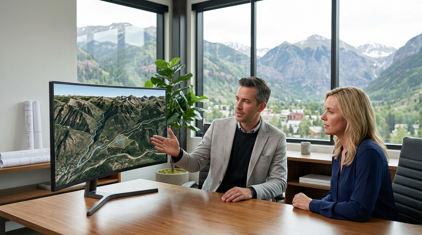
Check a property address ↗Georivo starts with a confirmed property address, checks whether supported photorealistic 3D coverage is available, and lets the user shape a location story with a template, camera movement, and optional nearby places. The result is a live browser-based 3D experience, not recorded drone footage. Paid users can publish a protected share link or domain-bound website embed.

What Georivo creates
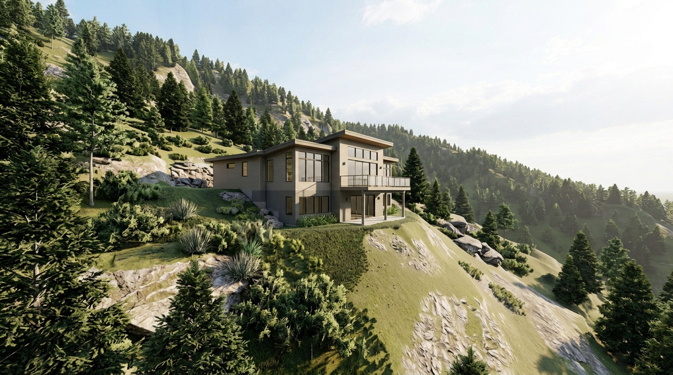
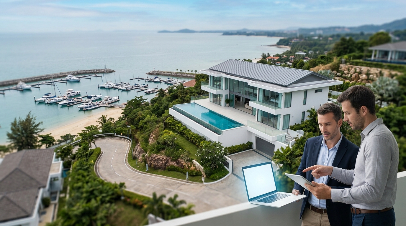
Georivo delivers a specialized SaaS solution designed for real-estate professionals, property marketers, developers, hospitality teams, and destination teams who need to communicate property location and surrounding geographic context clearly. Instead of relying on traditional, static real estate media, the platform generates an interactive 3D location story. This story is built using licensed geospatial imagery, creating a photorealistic representation of a property and its surrounding neighborhood. This visualization is rendered dynamically in the visitor's web browser, providing a modern alternative to conventional marketing materials.
It is critical to distinguish this interactive 3D visualization from physical drone footage. Drone footage is a recorded video file captured by a physical camera flying over a physical property, which results in a static file that cannot be manipulated by the viewer. Georivo, conversely, produces a live, browser-rendered 3D experience. Because the final output is a saved scene configuration replayed in real time, it remains fully interactive. Viewers are not locked into a single viewing angle; instead, they can engage with the environment directly, gaining a clearer understanding of spatial relationships.
This approach allows real-estate professionals to present a comprehensive view of a property's setting. By utilizing licensed geospatial imagery rather than physical site visits or drone deployments, marketers can establish a consistent, scalable method for showcasing properties. The platform supports multiple presentation flows, including Property Showcase, Neighborhood Story, and Arrival Guide. Each flow is designed to address specific communication needs, helping prospective clients understand not just the building itself, but how it fits into the broader local landscape.
From address to confirmed 3D location
The creation process begins with a single, confirmed property address. Users enter or select this address within the Georivo creator interface. The platform then utilizes Google address resolution to pinpoint the exact geographic coordinates of the property. This resolution step is fundamental, as accurate geocoding ensures that all subsequent virtual camera paths, distances, and spatial relationships are calculated correctly relative to the physical world.
Immediately following address resolution, Georivo performs an automated check to verify if supported photorealistic 3D coverage is available for the specified location. This check is a strict technical prerequisite. Because the platform relies on high-fidelity, licensed 3D geospatial datasets to construct the environment, a flyover cannot be generated for areas that lack this coverage. This ensures that users only spend time configuring stories for properties that can be rendered with the necessary photorealistic quality.
If the address is within a supported area, the creator interface unlocks the full suite of customization tools. If the address lacks the necessary 3D coverage, the system notifies the user, preventing the creation of an incomplete or low-quality visualization. This automated verification workflow ensures a reliable starting point, establishing that the underlying geospatial data is fully capable of supporting a detailed, multi-angle 3D presentation.

Choose a story template and nearby places
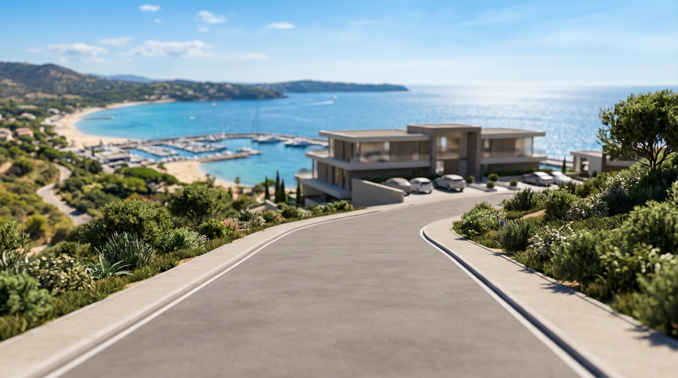
Once the address and 3D coverage are confirmed, users can select from three distinct story templates to structure their location narrative. The first option is the Property Showcase template. This template is designed to focus primarily on the subject property itself. The programmed camera path begins with a controlled approach from a distance, highlighting the property's immediate surroundings, and finishes with a smooth orbit around the building. This flow is ideal for showcasing the architecture, lot layout, and immediate setting of a listing.
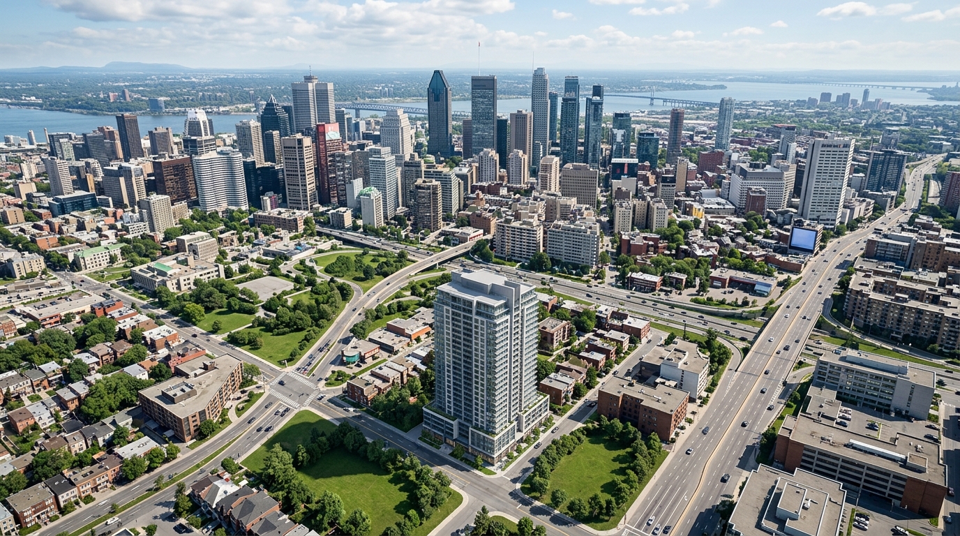
The second option is the Neighborhood Story template, which is engineered to establish broader geographic context. This template allows users to add up to three real nearby places, such as local parks, schools, transit hubs, or commercial districts. The virtual camera visits these important places in sequence, demonstrating their spatial relationship to the property, before arriving at the primary address and finishing with the chosen property movement. This flow is particularly useful for highlighting local amenities and neighborhood convenience.
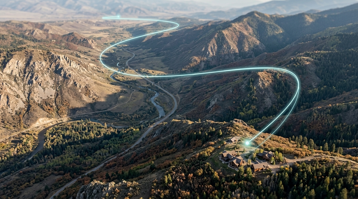
The third option is the Arrival Guide template. This template is designed to clarify the final stages of a visitor's journey. The camera path travels directly from a specified station or parking point to the property, providing a clear visual guide of the arrival route. By selecting the template that best aligns with their marketing goals, real-estate professionals can tailor the visual narrative to address the specific questions and priorities of their target audience.
Control camera movement and framing
After selecting a template, creators can customize the virtual camera's behavior to achieve the desired cinematic effect. Georivo offers five distinct programmed camera movements: Auto, Zoom, Orbit, Point to point, and Spiral. These options dictate how the camera transitions between different points of interest and how it frames the primary property. For instance, an orbit movement provides a continuous 360-degree view, while a zoom movement emphasizes depth and scale.
Beyond selecting the movement style, users can fine-tune several camera parameters to control the framing and pacing of the visualization. These parameters include selecting the aspect ratio format, adjusting the total duration of the scene, setting the closest distance the camera can approach the property, and defining the camera angle. These adjustments allow creators to tailor the visualization to different screen sizes and presentation contexts, ensuring a professional and polished final output.
It is important to note that certain camera movements have specific technical requirements. For example, the Point to point camera movement requires the user to define an explicit origin point to establish the start of the camera path. By understanding these requirements and adjusting the available parameters, creators can ensure that the camera path is clear, the framing is precise, and the overall visualization effectively highlights the property's geographic context.

Preview the live experience
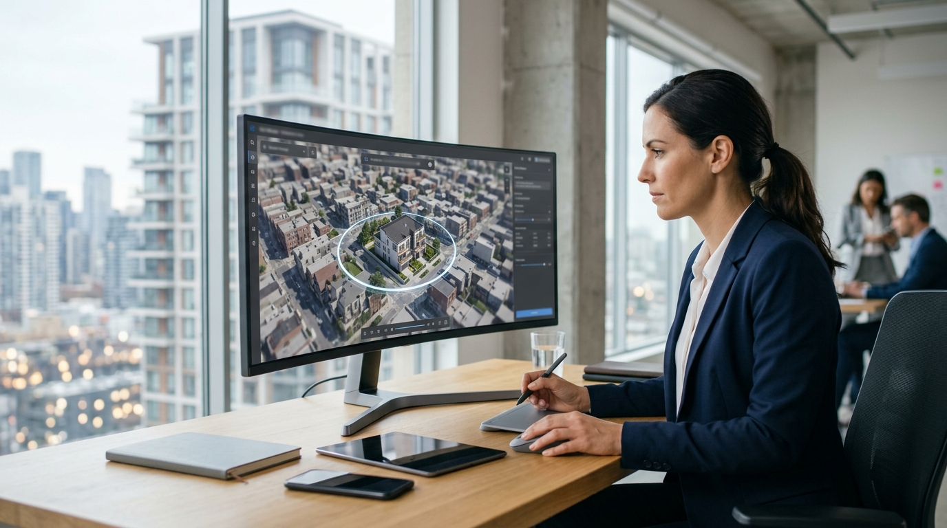
Once the template, nearby places, and camera movements are configured, the platform generates a real-time preview directly within the web browser. This preview environment is powered by the same rendering engine used for the final published output, allowing creators to inspect the entire sequence exactly as an end-user would see it. Because the preview renders live, any adjustments made to the camera angle, distance, or selected points of interest update instantly.
This interactive preview step is crucial for quality control. It allows users to verify that the camera path is free of obstructions, that the transitions between nearby places feel natural, and that the timing of the camera movements matches the intended narrative pace. Creators can test and refine the flow multiple times, ensuring that the visualization meets their standards before proceeding to the publishing stage.
Publish a protected link or embed
To share the completed 3D location story with an audience, users must sign in and subscribe to an active plan. Once subscribed, the platform allows users to publish their saved scene configuration. Publishing the scene does not generate a video file; instead, it saves the configuration on Georivo's servers, making it accessible as a live, browser-rendered experience.
The publishing process generates two primary distribution assets: a protected share link and a domain-bound website embed. The protected share link is a standalone URL hosted by Georivo, which can be shared directly via email, text, or social media. The domain-bound iframe embed allows users to integrate the interactive 3D experience directly into their own websites or listing pages. This embed is locked to authorized domains to prevent unauthorized hotlinking, ensuring that the interactive content remains secure and correctly branded.
What visitors experience
When a visitor opens a published Georivo link or views an embedded scene on a website, they do not encounter a static, pre-recorded video. Instead, their web browser loads a live, interactive 3D map environment. The experience begins with the programmed camera movements, smoothly guiding the viewer through the property showcase, neighborhood highlights, or arrival route according to the chosen template.
Once the automated camera playback finishes, the experience transitions into a live exploration mode. Visitors are not restricted to a passive viewing experience; they can freely interact with the 3D scene using their mouse or touch controls. This allows them to zoom in, pan across the neighborhood, tilt the camera, or orbit the property from different angles. This interactive freedom helps build trust and provides a comprehensive understanding of the location that static images or traditional video files cannot match.
Limitations and suitability
While Georivo is a powerful tool for location storytelling, it is important to understand its technical boundaries and suitability. First, the exact address entered must have supported photorealistic 3D coverage from our mapping providers. If a property is located in an area without this specific 3D coverage, the interactive flyover cannot be generated. Users should verify coverage before planning a campaign around a specific address.
Second, the resulting experience is a visualization based on licensed geospatial imagery, not physical drone footage or a current-condition inspection. The imagery quality, resolution, and recency depend entirely on the map provider. Consequently, recent renovations, new construction, or temporary physical conditions may not be reflected in the 3D model. The visualization is intended to communicate location and geographic context, not to serve as a legal or physical inspection of the property's current state.
Finally, there are specific product limitations to keep in mind. MP4 video download is not part of the current customer product; the output is strictly a live, interactive 3D experience replayed in the browser. Additionally, the Point to point camera movement requires an explicit, user-defined origin point to function correctly. Understanding these boundaries helps ensure that real-estate professionals use Georivo effectively and set accurate expectations for their clients.
| Template Name | Camera Flow | Primary Use Case |
|---|---|---|
| Property Showcase | Approaches the property and finishes with an orbit | Highlighting building architecture and immediate lot layout |
| Neighborhood Story | Visits up to three nearby places, arrives at property, and finishes with chosen movement | Demonstrating proximity to local amenities, parks, and schools |
| Arrival Guide | Travels from a station or parking point directly to the property | Showing clear transit routes and final-mile directions for visitors |
Step-by-Step Creation Workflow
- Enter a single property address in the Georivo creator interface
- Verify that the address resolves and has supported photorealistic 3D coverage
- Select one of the three story templates: Property Showcase, Neighborhood Story, or Arrival Guide
- Configure camera movement parameters including format, duration, closest distance, and camera angle
- Add up to three real nearby places to provide geographic context if using the neighborhood template
- Preview the live 3D scene directly in your web browser to verify the camera path
- Sign in and subscribe to publish a protected share link or a domain-bound iframe embed
Interactive 3D visualization changes how we communicate location. Instead of watching a static video, clients actively explore the neighborhood, building immediate confidence in the property context.
Explore Georivo
FAQ
Is a Georivo flyover the same as drone footage?
No, Georivo is a browser-rendered 3D visualization using licensed geospatial imagery, not physical drone footage or a real-time camera feed.
Can I download the flyover as an MP4 video file?
No, MP4 download is not part of the current customer product. The output is a live, interactive 3D experience replayed in the browser.
What happens if my property address does not have 3D coverage?
The exact address must have supported photorealistic 3D coverage. If coverage is unavailable, the interactive flyover cannot be created.
How many nearby places can I add to a Neighborhood Story?
You can add up to three real nearby places to highlight key amenities, parks, or transit points in your story.
Can I restrict where my embedded 3D flyover is displayed?
Yes, paid users can publish domain-bound iframe embeds, which restricts the interactive experience to authorized websites.
Does the Point to point camera movement work automatically?
The Point to point camera movement requires you to define an explicit origin point to establish the start of the camera path.