
How Remote Property Buyers Evaluate Location Before Booking a Viewing
Learn how remote buyers assess neighborhood context, arrival routes, and spatial relationships before scheduling in-person property viewings.

For out-of-town buyers, relocating families, and international investors, the decision to schedule an in-person property viewing represents a major commitment of time, money, and travel. Before booking flights or clearing weekend schedules, these high-intent buyers must resolve a critical set of questions that interior photos and standard floor plans cannot answer. They need to understand how a property sits within its broader geographic context, how it connects to essential daily amenities, and what the physical arrival experience feels like. When marketing properties to remote clients, providing clear, interactive spatial evidence is the key to converting digital interest into physical viewings.
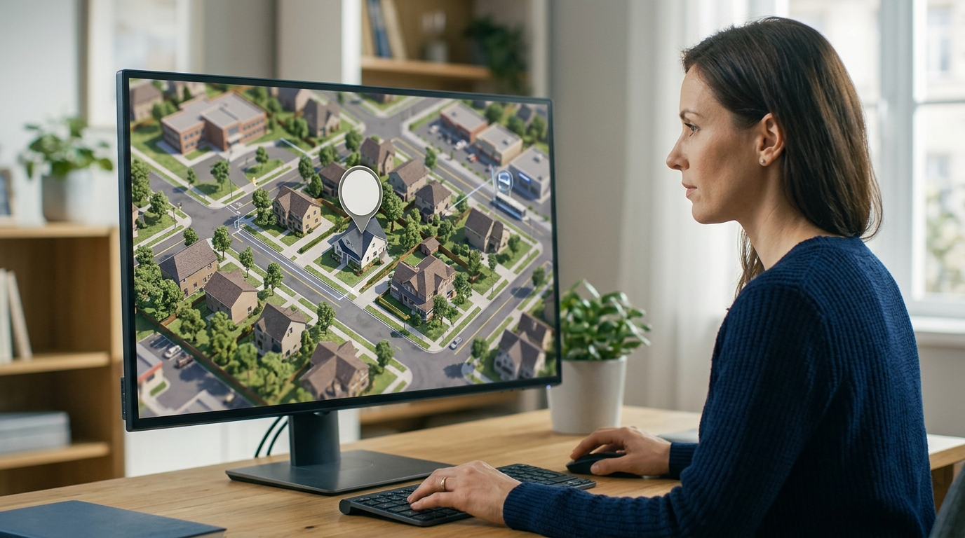
The High Cost of Location Uncertainty for Out-of-Town Buyers
Remote buyers operate under a high-friction decision model. Unlike local buyers who can easily drive by a listing on a Tuesday evening, remote prospects must plan travel, take time off work, and incur real financial costs just to walk through a front door. Consequently, they are highly risk-averse. If they feel any ambiguity about the surrounding area, the proximity of industrial zones, or the safety of the access roads, they will simply pass on the listing rather than risk a wasted trip.
Traditional real estate portals do little to alleviate this anxiety. They offer interior galleries and flat, static 2D maps with generic pins. These pins show that a grocery store is half a mile away, but they fail to show the steep hill, the lack of sidewalks, or the busy four-lane highway that separates the home from that store. To bridge this information gap, remote buyers spend hours cross-referencing satellite imagery, street views, and local forums, often piecing together an inaccurate or outdated mental model of the neighborhood.
Why Interior Virtual Tours and Photos Fall Short
Over the past decade, the real estate industry has heavily invested in interior virtual tours. While high-resolution 3D dollhouse views and panoramic walkthroughs are excellent for showcasing kitchen finishes and master bedroom layouts, they suffer from a severe limitation: they stop at the front door. A beautifully staged living room loses its appeal if the buyer later discovers the property backs directly onto a noisy commercial loading dock or sits in a deep shadow cast by adjacent high-rises.
This disconnect creates a psychological barrier. When a listing only showcases the interior, sophisticated buyers become suspicious. They wonder what the agent is trying to hide just outside the frame of the photograph. To build trust, listing agents must extend the virtual experience outward, providing the same level of detail for the surrounding neighborhood as they do for the kitchen cabinets.
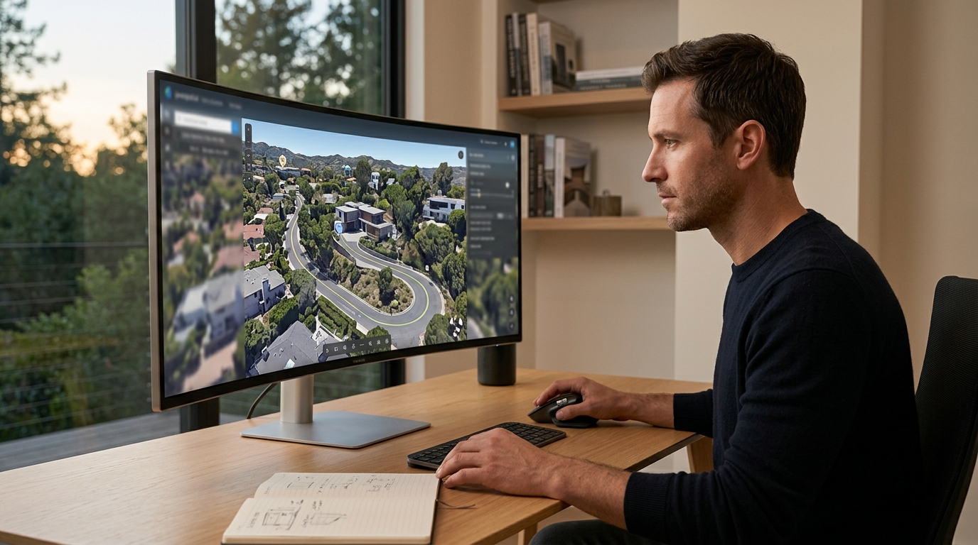
The Five Critical Spatial Relationships Buyers Must Verify
To feel confident enough to book a viewing, a remote buyer must verify several distinct spatial relationships. First is the immediate boundary context: how close are the neighboring homes, and do they overlook the backyard? Second is the pedestrian accessibility: are there safe, walkable paths to local parks, schools, or cafes, or is the property isolated by car-centric infrastructure?
Third, buyers need to understand the topography of the land. A flat map cannot convey the steepness of a driveway or how a hillside location impacts natural light and views. Fourth, they evaluate the visual noise and aesthetic harmony of the streetscape. Finally, they look for regional connectivity, analyzing how easily they can access major commuter routes, transit hubs, and airports without getting trapped in local bottlenecks.
How Interactive 3D Location Stories Reduce Buying Friction
This is where interactive 3D location storytelling transforms the marketing funnel. By utilizing licensed, photorealistic geospatial imagery, agents can construct a guided digital journey that places the property in its exact regional context. Instead of looking at a static map, a remote buyer can watch a prepare the automatic location presentation that sweeps from the local airport, glides over the top school districts, traces the daily commute path, and gently descends to the property itself.
Unlike physical drone footage, which is static, expensive to produce, and restricted by local airspace regulations, a digital 3D location story allows for live exploration after the initial playback. Buyers can pause the guided tour, rotate the camera, zoom out to see the horizon, and zoom in to inspect the walkability of the immediate block. This interactive control gives buyers a sense of agency and transparency, directly addressing their fear of the unknown.
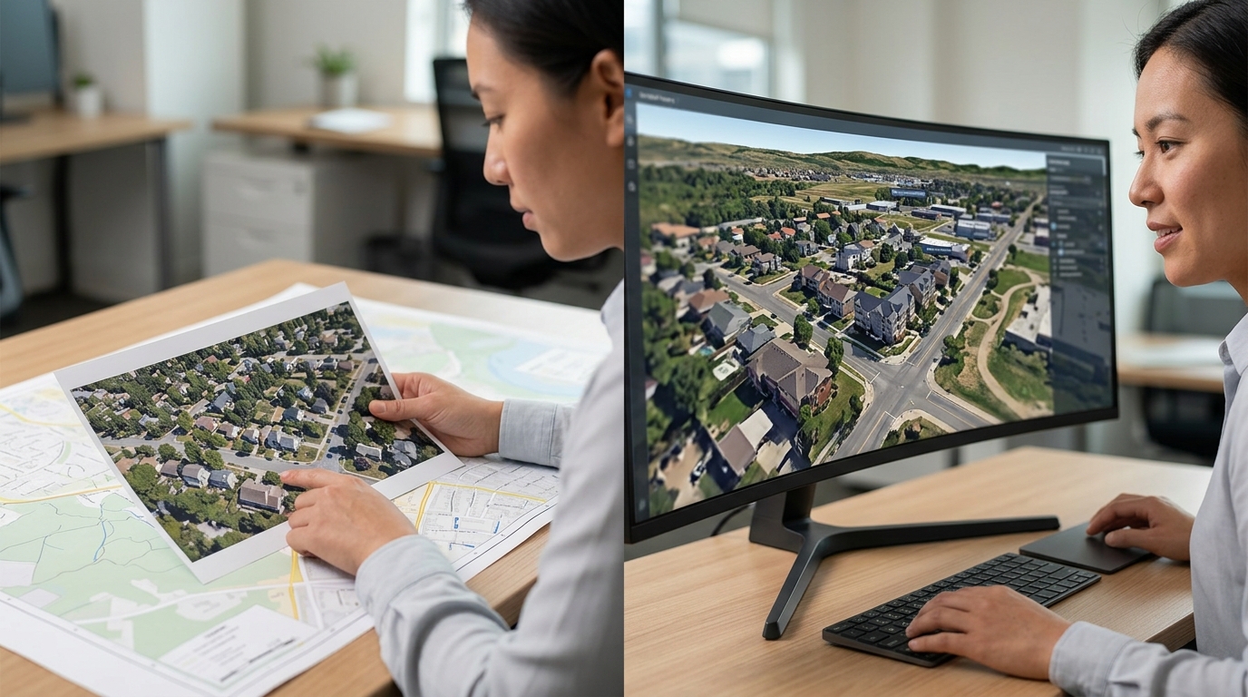
The Arrival Experience: Simulating the First Impression
The first ten minutes of a property visit are often the most influential. For a remote buyer, however, the arrival experience is completely blank until they physically arrive. An interactive arrival guide solves this by simulating the approach to the property from major access roads. It shows the transition from suburban arterials to quiet residential streets, highlighting the neighborhood gateway, local landmarks, and the final approach to the driveway.
By visualizing this sequence, marketers remove the cognitive load of navigating an unfamiliar area. When the buyer finally arrives in person, the route feels familiar, the surroundings are expected, and the initial anxiety is replaced by a sense of comfort. This preparation ensures that the in-person viewing is focused on evaluating the home itself, rather than adjusting to the shock of an unfamiliar neighborhood.
Differentiating Geospatial Visualization from Physical Drone Footage
It is important for real estate professionals to distinguish between physical drone video production and interactive geospatial visualization. While drone videos offer beautiful cinematic shots, they are fundamentally passive. A video plays from start to finish, showing only what the operator chose to film on a specific sunny afternoon. It cannot be updated easily if a new park opens nearby, and it does not allow the buyer to interactively measure distances or change angles.
Furthermore, drone operations are heavily restricted in urban centers, near airports, and in private communities. Geospatial visualization, powered by platforms like Georivo, bypasses these physical and regulatory limitations. It provides a complete, compliant, and highly interactive 3D model of the entire region that can be customized with custom labels, routes, and camera paths, offering a far more informative tool for serious buyers.
Integrating Location Storytelling into Your Listing Strategy
To maximize the impact of location storytelling, agents should integrate these interactive 3D experiences at multiple touchpoints in their marketing campaigns. The primary embed should live directly on the property listing page, positioned alongside the interior virtual tour. This ensures that as soon as a buyer finishes exploring the master bedroom, they can immediately step outside and explore the neighborhood.
Additionally, sharing protected links in email newsletters and direct correspondence with out-of-town buyers provides a highly personalized touch. When a relocation client asks about local schools or commute times, sending a tailored 3D location story that visually maps those exact routes demonstrates unparalleled professionalism and saves hours of back-and-forth communication.
| Information Need | Traditional Tool | Buyer Limitation | 3D Location Story Benefit |
|---|---|---|---|
| Neighborhood Layout | Static 2D Map | Fails to show topography and real-world scale | Provides photorealistic 3D terrain and interactive exploration |
| Commute and Transit | Written Directions | Hard to visualize traffic patterns and physical distance | Visualizes exact routes and transit corridors from above |
| Immediate Surroundings | Interior Photos | Hides adjacent properties and potential eyesores | Offers a complete 360-degree view of the surrounding block |
| Local Amenities | Text Bullet Points | No context on walkability or neighborhood character | Highlights local landmarks with interactive, clickable hotspots |
| Arrival Sequence | Street View | Disjointed and often outdated imagery | Simulates a smooth, continuous drive-in experience |
Steps for Creating a High-Converting Location Story
- Identify the target buyer persona and their primary location priorities, such as schools, transit, or natural scenery.
- Map out the key regional landmarks, including major employment hubs, shopping districts, and recreation areas.
- Program a smooth camera path that transitions from a wide regional view down to the specific property address.
- Add interactive labels and hotspots to highlight essential amenities and explain their distance from the home.
- Embed the finished 3D location story on the main listing page, adjacent to the interior virtual tour.
- Share direct, protected links with out-of-town prospects to answer specific questions about the neighborhood.
Remote buyers do not just buy a house; they buy a location. If you cannot prove the value of the neighborhood digitally, you will never get them to book the flight.
FAQ
How do remote buyers verify the accuracy of a neighborhood visualization?
Remote buyers rely on photorealistic geospatial imagery that uses licensed, real-world data. Because the visualization is built on actual geographical coordinates and terrain models, it provides an accurate representation of the topography, streets, and surrounding buildings, building trust that stylized maps cannot match.
Why is physical drone footage sometimes insufficient for out-of-town buyers?
While drone footage is visually appealing, it is a passive medium. Buyers cannot control the camera, zoom in on specific areas of interest, or explore the neighborhood at their own pace. Additionally, drone videos can quickly become outdated and are subject to strict airspace regulations that limit where they can fly.
Can interactive location stories be used for commercial real estate?
Yes, location storytelling is highly effective for commercial real estate. Remote investors and tenants need to understand logistics routes, proximity to major highways, local demographic centers, and neighboring businesses, all of which are easily visualized using interactive 3D geospatial platforms.
How does showing the arrival route benefit the property marketing process?
Visualizing the arrival route removes the anxiety of the unknown for visiting buyers. It prepares them for the physical drive, highlights the quality of the surrounding streets, and ensures their first in-person impression of the property is positive and familiar.
Where should I place the 3D location story on my website?
For maximum engagement, embed the interactive 3D location story directly on the property listing page, ideally right next to or below the interior virtual tour. This creates a seamless transition from exploring the inside of the home to understanding its external environment.
Does this technology require buyers to download special software?
No, modern geospatial visualization platforms like Georivo run directly in standard web browsers. Buyers can access the interactive 3D experience on their desktops, tablets, or smartphones without installing any apps or plugins.