
Rural Estate Aerial View Example
See a demo rural-estate aerial story that communicates scale and remoteness without drawing false parcel boundaries or promising current imagery.
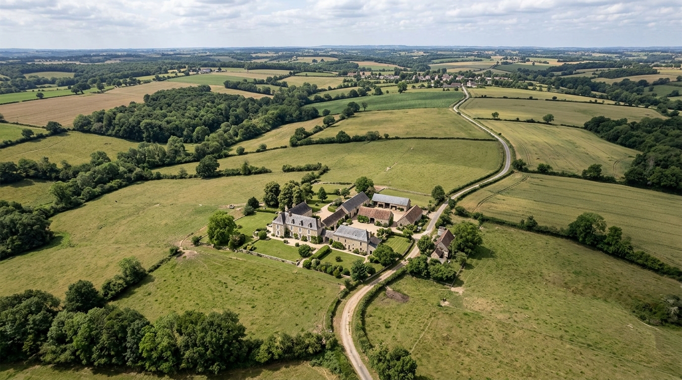
This demo explains how an aerial location story can help a buyer understand a rural estate in relation to surrounding land, the main road, and a nearby town. It does not draw or verify parcel boundaries and is not current site photography, a survey, valuation, or access report. Any real listing needs verified title, road, condition, and distance information.
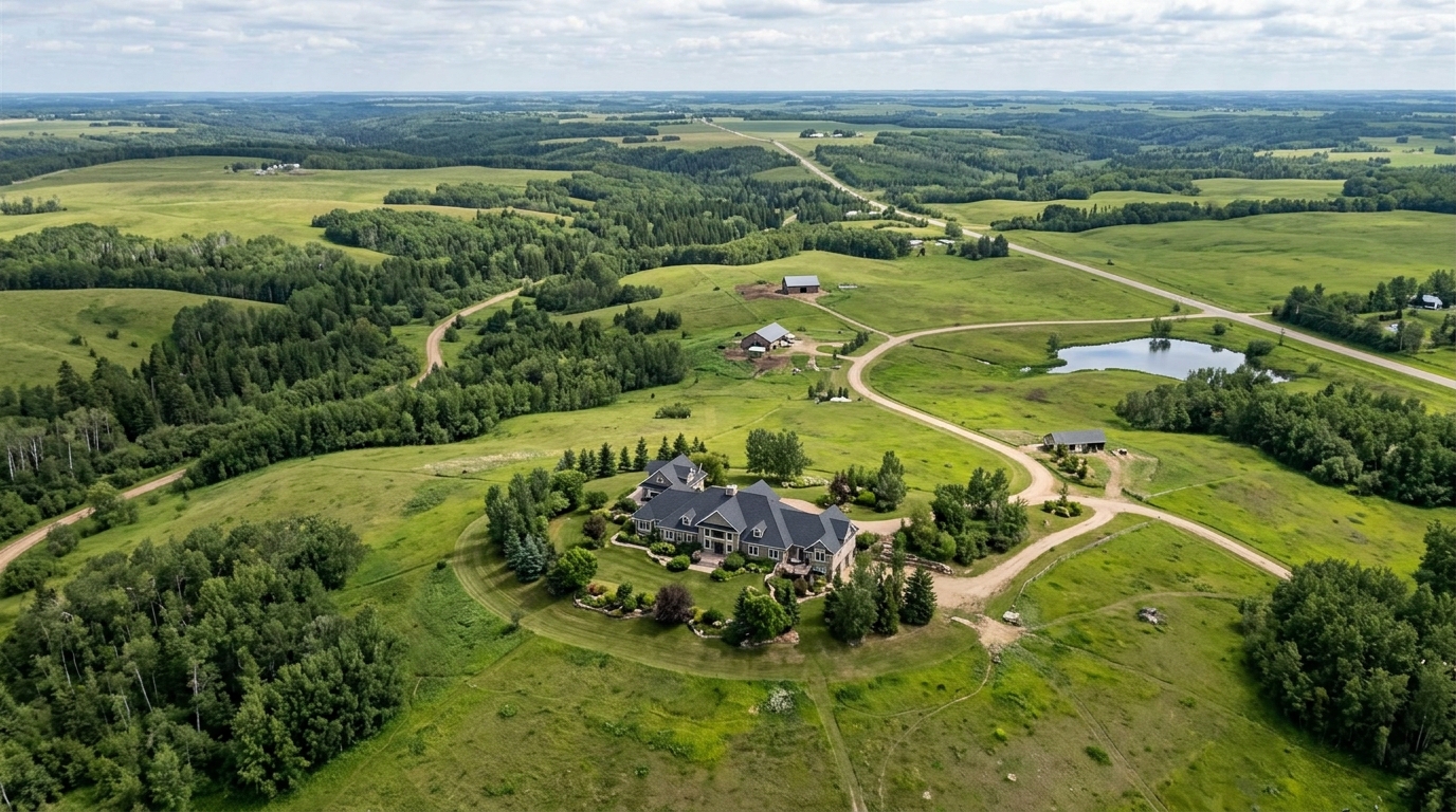
Demo disclosure
This page provides an illustrative demonstration of a rural estate location story created using the Georivo platform. It is designed specifically to show real-estate agents, property marketers, developers, hospitality teams, and destination teams how interactive 3D location stories can represent large-scale properties and their broader regional context. This is a functional simulation and does not represent an active real estate transaction, an actual commercial listing, a specific property address, or a real customer case study.
When marketing expansive rural properties, communicating scale and geographical context is a primary challenge. Traditional ground-level photography and static maps often fail to capture how a property interacts with its broader natural environment. This demo serves as an educational resource to help property marketers understand how to configure spatial narratives effectively using licensed geospatial imagery, without implying legal boundaries or current physical conditions.
Because this is a demo, all geographic features, labels, and camera paths are configured for illustrative purposes only. Real-estate professionals using the platform should always ensure that their own published stories are accompanied by appropriate local disclosures, reminding prospective buyers that the visualization is an aid to understanding regional context rather than a legally binding survey or current site photograph.
Live or poster demonstration
The interactive visualization begins with a high-altitude poster view, offering a broad perspective of the entire landscape. Users can initiate the prepare the automatic location presentation, which glide across the terrain to highlight key geographical relationships. This guided tour ensures that viewers are introduced to the property and its surroundings in a structured, logical sequence.
Once the pre-programmed camera path completes, the visualization transitions into a live exploration mode. Viewers are not locked into a static video file. Instead, they can pan, tilt, and zoom across the 3D environment to inspect the surrounding terrain at their own pace. This interactive capability distinguishes the Georivo experience from physical drone footage, which is limited to a pre-recorded flight path and cannot be explored dynamically by the end user.
The final output can be shared via protected share links or embedded directly on a website using domain-bound embeds. This ensures that the interactive location story remains secure and functions seamlessly within the designated digital environment of the real-estate professional. By allowing live exploration after playback, the platform provides a flexible spatial experience that static media cannot replicate.
Estate scenario
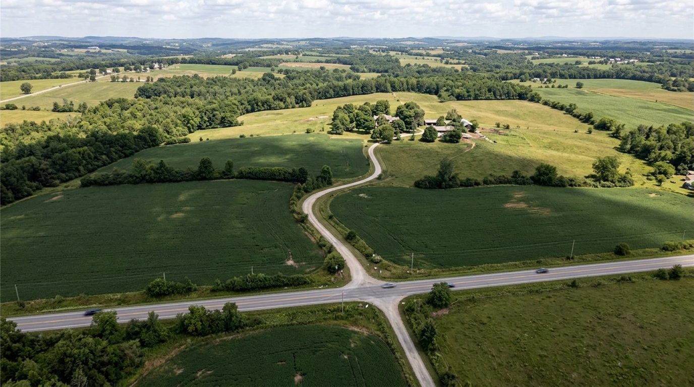
Our simulated scenario focuses on a large rural estate and surrounding land. This type of property typically features a primary residence and extensive acreage that can be difficult to conceptualize from ground-level photos alone. The goal of this visualization is to place the primary property in its proper geographical context relative to the surrounding land.
By presenting the estate within a continuous 3D model, prospective buyers can immediately understand the general topography of the land. They can see how the property sits in relation to the surrounding landforms, which is critical information for anyone evaluating rural acreage. This spatial representation is designed to supplement, rather than replace, official property documentation and physical site visits.
In rural marketing, demonstrating the relationship between the built environment and the natural landscape is key. This scenario illustrates how a property marketer can establish that relationship visually. It shows how the main residential area connects to the surrounding land, providing a sense of place that is often lost in standard listing galleries.
Selected points
To guide the viewer's eye, the visualization highlights four critical points of interest: the property, the surrounding land, the main road, and the nearest town. Each point is marked with a clean visual label that provides immediate spatial orientation without cluttering the screen.
Highlighting these specific points helps answer common questions about rural listings. Instead of guessing where the property is situated relative to public infrastructure, viewers can see the spatial relationships represented in a single, cohesive 3D view. This helps establish a clear understanding of the property's general location and its connection to the surrounding region.
These four points represent the core elements of a rural location narrative. By identifying the property, the surrounding land, the main road, and the nearest town, the visualization addresses the primary geographic questions a buyer might have. This structured approach ensures that the spatial story remains focused on the most relevant regional context.
Scale narrative
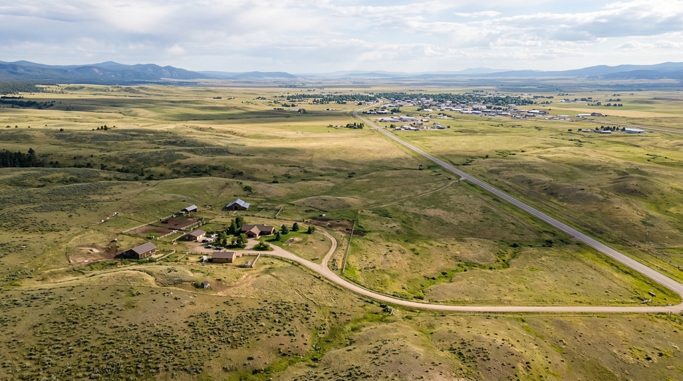
The camera path is programmed to establish a clear narrative of scale and remoteness. It starts from a regional perspective, showing the estate in relation to the nearest town, and then gradually descends toward the main road. This sequence helps the viewer build a mental map of the journey they would take to reach the property.
As the camera moves closer to the primary residence, it tilts to show the surrounding land in detail. This transition from a macro regional view to a micro property view helps viewers appreciate both the privacy of the estate and its accessibility, balancing the desire for seclusion with the practicalities of rural living. The prepare the automatic location presentation ensure that the transition is smooth and easy to follow.
This narrative structure is particularly useful for properties that are located far from major urban centers. By visually linking the property to the nearest town and main road, the camera path demonstrates the physical relationship between remoteness and accessibility. It allows the viewer to conceptualize the distance in a visual format before reviewing official maps or driving directions.
Buyer learning
Through this interactive experience, prospective buyers learn how the estate fits into the local geography. They gain an immediate understanding of the general distance between the main house and the primary access road, as well as the general topography of the surrounding acreage. This level of insight helps buyers form realistic expectations before they engage in physical site visits or request official documentation.
Furthermore, the ability to explore the live 3D map after the playback ends empowers buyers to conduct their own virtual site visits. They can assess the physical relationship between different parts of the land, helping them visualize how the property connects to the main road and the nearby town. This interactive exploration provides a sense of place that static media cannot deliver.
It is important to note that what the buyer learns from this visualization is conceptual. The interactive story does not replace the need for professional due diligence. Buyers must still verify all physical distances, road conditions, and land characteristics through official channels, but the visualization serves as an excellent starting point for their research.
Legal and visual limitations
This visualization is an illustrative demo and does not represent a real customer case or an active property listing. It is not a legal survey, a boundary valuation, a property condition report, or an official access assessment. Georivo does not draw, verify, or guarantee legal parcel boundaries, and no boundary lines should be inferred from the visual representation. Any real listing requires verified title, road, condition, and distance information.
The 3D imagery used in this demonstration is sourced from licensed geospatial data and may not reflect current ground conditions, recent construction, seasonal vegetation changes, or road access status. It is not current site photography. Buyers must rely on official surveys, physical inspections, and professional distance measurements to confirm the accuracy of any property details before making financial decisions.
Real-estate professionals must clearly communicate these limitations to their clients. While 3D location stories are powerful tools for illustrating regional context and scale, they are not legal or technical documents. Ensuring that buyers understand the distinction between an illustrative visualization and a physical drone video or official land survey is essential for maintaining transparency and compliance.
Build notes
Creating this rural estate story involves entering a property address and nearby places into the Georivo platform. Real-estate professionals can choose from supported flows such as complete property page, location context, or arrival context. In this example, the property-focused presentation is used to focus on the estate and its immediate surroundings.
Once the address is entered, the creator adds custom points of interest for the surrounding land, the main road, and the nearest town. The prepare the automatic location presentation are then configured to ensure a smooth transition between these critical locations. Finally, the story is published using protected share links or domain-bound embeds, allowing for secure integration into property listings and marketing materials.
By utilizing licensed geospatial imagery, the platform allows creators to build these stories without the need for physical drone deployments or on-site photography. This makes it possible to establish regional context early in the marketing process. The resulting interactive story can be embedded on authorized domains, ensuring that the visualization is displayed only where intended.
| Point of Interest | Visualization Goal | Key Camera Angle | Buyer Context |
|---|---|---|---|
| Property | Show main residence | High-angle close-up | Understands home placement |
| Surrounding land | Show natural boundaries | Wide-angle tilt | Visualizes acreage scale |
| Main road | Demonstrate access route | Mid-altitude pan | Identifies entry points |
| Town | Locate nearest hub | Horizon-level sweep | Evaluates regional proximity |
Steps to Configure a Rural Location Story
- Enter the property address and nearby places into the Georivo platform.
- Select an appropriate flow such as the property-focused presentation.
- Add key points of interest including the property, surrounding land, main road, and nearest town.
- review the automatic location presentation to transition smoothly between the selected points.
- Publish the visualization using protected share links or domain-bound embeds for secure integration.
A rural property is defined by its relationship to the land around it. Showing that context interactively bridges the gap between static photos and physical reality.
FAQ
Does this visualization show the exact legal boundaries of the rural estate?
No, Georivo visualizations do not draw, calculate, or verify legal parcel boundaries. Buyers must consult official surveys and title documents for legal property lines.
Is the imagery shown in the 3D story guaranteed to be current?
No, the 3D imagery is based on licensed geospatial data which may not reflect recent construction, seasonal changes, or current ground conditions.
Can I use this tool as a substitute for a professional physical land survey?
Absolutely not. This is a marketing and contextual visualization tool, not a legal, navigational, or technical land survey.
How does this differ from physical drone footage of a rural property?
Unlike physical drone video, which is static and limited to a specific flight path, Georivo provides an interactive 3D environment that users can explore live after playback.
What points of interest should I include in a rural estate story?
We recommend highlighting the main property, the surrounding land, the primary access road, and the closest town to provide complete regional context.