
3D Property Flyover vs Drone Video
Compare interactive 3D property flyovers with physical drone video: interactivity, current imagery, logistics, website use, limitations and best-fit listings.

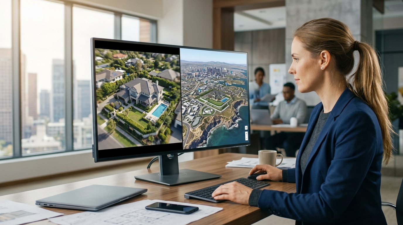
A 3D property flyover and a drone video answer different questions. A flyover provides an interactive view of location relationships without a physical flight, while drone video records the actual exterior at a specific time. Choose by the evidence the buyer needs: current visual condition favors drone footage; explorable location context favors a 3D flyover; many listings benefit from both.
Decision summary
Real-estate marketing relies on aerial perspectives to capture the scale of a property. Traditionally, hiring a physical drone pilot was the primary method to achieve an elevated viewpoint. Today, digital alternatives like 3D property flyovers offer a different approach by rendering photorealistic environments using licensed geospatial imagery. Understanding when to deploy each asset is critical for maximizing your marketing resources and providing the exact information buyers seek. This guide compares physical drone video with interactive 3D property flyovers to help real-estate agents, property marketers, developers, hospitality teams, and destination teams select the best-fit visualization tool for their listings.
The choice between these two formats depends on whether your primary goal is to show the current physical state of the building or to explain its broader geographic context. Physical drone video captures a specific moment in time, showing the actual exterior of the structure, the immediate landscaping, and the physical condition of the property on the day of the shoot. Conversely, a 3D flyover focuses on spatial relationships, showing how a property connects to nearby places, landmarks, and transit routes without requiring a physical flight. This digital approach allows marketers to build a comprehensive neighborhood story by placing the property in its wider geographic context.
For many listings, the decision is not strictly an either-or proposition. High-end estates, complex developments, and hospitality destinations often benefit from a combined approach. Physical video can capture the intimate, current details of the structure's surfaces, while interactive digital models handle the broader neighborhood story and arrival guide flows. By evaluating the specific evidence your target audience needs, you can select the tool—or combination of tools—that best builds buyer confidence and clearly communicates both the property's physical condition and its geographic convenience.
Evidence each format provides
A physical drone video serves as direct visual evidence of the property's physical condition at a specific point in time. It records the actual exterior surfaces, the current state of the roof, the immediate landscaping, and the physical relationship with adjacent properties as they exist on the day of the recording. This makes it an invaluable tool for buyers who require visual confirmation of the building's physical state before scheduling an in-person visit. Because it is a direct recording of physical reality, it provides a high degree of visual detail regarding the materials, textures, and immediate surroundings of the home.
A 3D property flyover, such as those generated by Georivo, provides structural and contextual evidence rather than a real-time physical inspection. It demonstrates how a property sits within its broader neighborhood, illustrating the spatial relationships between the address and nearby points of interest. Instead of focusing on a single roof tile or the current state of the lawn, a 3D flyover highlights the proximity to local parks, schools, shopping districts, and transit networks. This helps out-of-town buyers and prospective residents understand the lifestyle and convenience of the location, answering questions about the surrounding area that a tightly framed physical video cannot easily address.
When marketing a property, the type of evidence you present shapes the buyer's understanding of the listing. A drone video reduces uncertainty regarding the physical structure itself, proving that the building is in the condition described. A 3D flyover reduces uncertainty regarding the location, proving that the property is indeed situated near the amenities and natural features that make the neighborhood desirable. It is important to note that a 3D visualization does not prove or show legal property boundaries; instead, it serves as an interactive location storytelling tool that helps buyers visualize the property's position within the community.

Interactivity and recency
One of the most significant differences between these formats is how users interact with the content. A drone video is a passive, linear medium. The viewer can play, pause, or rewind the footage, but they are entirely dependent on the flight path chosen by the pilot during the shoot. If a buyer wants to see what lies just beyond the edge of the frame, or if they want to explore a neighboring street to understand the surrounding context, they are unable to do so. The experience is fixed, limiting the viewer's ability to investigate the area independently.
An interactive 3D flyover offers an explorable experience. While it can feature prepare the automatic location presentation to guide the viewer through a curated story—such as a complete property page, location context, or arrival context—it also supports live exploration after playback. Users can pan, tilt, zoom, and navigate the surrounding area at their own pace. This active engagement transforms the viewer from a passive spectator into an active explorer of the neighborhood, allowing them to inspect the surrounding context, locate nearby places, and gain a personalized understanding of the property's location.
Regarding recency, drone video is completely current as of the day of the physical shoot, capturing the exact visual state of the property at that moment. In contrast, 3D flyovers utilize licensed geospatial imagery, which is updated periodically by geospatial providers. This means that while a drone video captures the freshly mowed lawn or recent exterior paint job of yesterday, the 3D flyover provides an enduring, reusable framework of the entire community layout. It is critical to clearly distinguish digital visualizations from physical drone photography to maintain buyer trust, ensuring clients understand that the 3D flyover is a tool for location and neighborhood context rather than a real-time representation of the building's physical surfaces.
Logistics and permissions
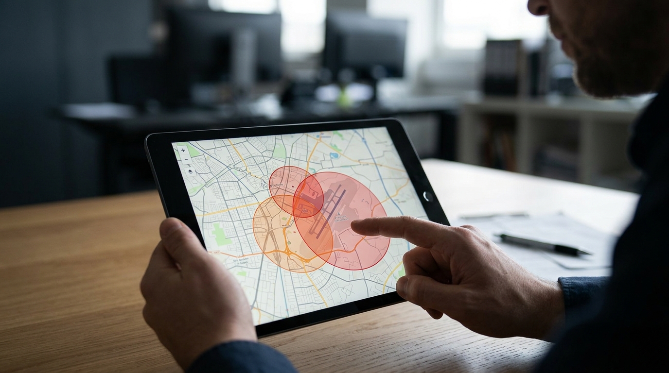
The logistics of physical drone production can be complex. Planning a shoot requires hiring a licensed pilot, monitoring weather conditions, and obtaining necessary airspace permissions, especially near airports, restricted zones, or congested urban areas. These factors can introduce scheduling challenges and potential delays, as a physical flight cannot proceed during inclement weather or without proper regulatory clearance. These logistical requirements mean that physical drone video requires advance planning and coordination before the asset can be captured and delivered.
Digital 3D flyovers eliminate these physical logistical hurdles. Because they are constructed from existing licensed geospatial datasets, they can be generated from any device using a property address. There are no weather delays, no physical airspace restrictions, and no scheduling conflicts with pilots. This allows real-estate professionals, property marketers, and developers to generate aerial location assets on demand, maintaining a highly predictable marketing timeline and launching listings without waiting for physical site visits or regulatory approvals.
Furthermore, the administrative effort of managing physical shoots across multiple listings can strain marketing departments and hospitality teams. Digital platforms streamline this workflow by allowing teams to generate consistent, high-quality aerial assets directly from their desks. This scalability makes digital flyovers an attractive option for high-volume agencies, developers, and destination teams who need to represent numerous properties across different regions without managing the logistics of multiple physical drone deployments.
Website use
How these media types perform on your website is another critical consideration for digital marketing. Drone videos are typically large file exports that must be hosted on video platforms and embedded on your site. While visually impressive, they can sometimes affect page load times if not optimized correctly, and they do not allow the user to interact with the map directly. The viewer's engagement is limited to watching the video play, which may not fully satisfy a buyer's desire to explore the surrounding geography.
Interactive 3D flyovers are designed specifically for modern web browsers. Platforms like Georivo provide domain-bound embeds and protected share links that load efficiently without bogging down page performance. These embeds allow users to transition smoothly from a guided camera path into a live exploration mode, keeping prospective buyers engaged on your listing page. By integrating interactive elements, you allow buyers to actively manipulate the view of the neighborhood, helping them absorb the location context and spend more time interacting with your listing.
For real-estate professionals, providing an interactive experience directly on the property page helps qualify buyer interest. When a buyer can interactively explore the proximity of a property to local amenities, they gain a clearer understanding of the location before contacting the agent. This self-directed exploration helps ensure that the inquiries you receive are from buyers who are already comfortable with the property's geographic context, streamlining the sales process and improving the quality of client interactions.
Limitations
Every visual medium has its boundaries, and understanding them is essential for maintaining transparency with prospective buyers. A physical drone video is limited by weather, airspace laws, and the need to reshoot if the property undergoes physical changes. It is a static, linear file that cannot be updated or modified without a completely new physical flight. Additionally, drone video is restricted to the immediate area where the pilot is permitted to fly, making it difficult to capture broad regional context or distant points of interest in a single shot.
A 3D property flyover relies on licensed geospatial imagery, which means it cannot guarantee real-time updates of physical structures. If a house was recently painted, a new deck was built, or a neighboring building was recently constructed, the 3D model may not reflect these recent physical modifications. Furthermore, 3D flyovers require adequate geospatial data coverage for the specific address. While coverage is extensive in many urban and suburban areas, highly remote or newly developed regions may have lower resolution imagery or limited 3D data compared to established areas.
To maintain buyer trust, real-estate professionals must verify coverage for their specific listing addresses and clearly distinguish digital visualizations from physical photography. It is critical to present 3D flyovers as location and neighborhood context tools rather than exact, real-time representations of the building's current physical surfaces. By understanding these limitations and using each tool for its intended purpose—drone video for physical condition, and 3D flyovers for interactive location storytelling—marketers can provide a complete and honest representation of any property.
| Feature | Physical Drone Video | 3D Property Flyover |
|---|---|---|
| Primary Focus | Physical condition and architectural details | Location context and neighborhood relationships |
| User Experience | Passive viewing of a fixed video path | Interactive exploration with zoom and pan |
| Production Logistics | Requires physical flight, pilot, and weather coordination | Generated digitally using existing geospatial datasets |
| Airspace Restrictions | Subject to local physical aviation laws and flight restrictions | None, entirely digital simulation of geospatial data |
| Imagery Recency | Exact day of the physical shoot | Based on licensed geospatial updates |
Steps to Choose the Right Medium for Your Listing
- Evaluate the primary selling point of the property, focusing on whether physical condition or location context matters more.
- Check local airspace regulations to see if physical drone flights are permitted in the listing area.
- Assess your marketing timeline and determine if you have the time required to coordinate a physical shoot.
- Test the property address on a 3D visualization platform to verify geospatial data coverage.
- Review your budget constraints, comparing the cost of physical pilots against digital subscription tools.
- Deploy a hybrid approach by using drone footage for the home exterior and a 3D flyover for the neighborhood story.
While drone video shows a buyer what a house looks like, an interactive 3D flyover shows them how that house fits into the world around it.
FAQ
Can I use both drone video and a 3D flyover on the same listing?
Yes. Using both media types provides a comprehensive buyer experience. You can use physical drone video to showcase the current physical condition of the home itself, and embed an interactive 3D flyover to explain the surrounding neighborhood and local amenities.
How accurate is the imagery in a 3D property flyover?
3D flyovers use high-quality licensed geospatial imagery. While it is highly accurate for terrain, roads, and established buildings, it may not reflect very recent physical renovations or paint changes made to the property.
Do I need a license to create a 3D property flyover?
No. Unlike physical drone flights which require a certified pilot license in many jurisdictions, digital 3D flyovers are created entirely online using software platforms like Georivo, requiring no special permits or licenses.
How do 3D flyovers handle airspace restrictions?
Because 3D flyovers are generated digitally from existing geospatial datasets, they are completely unaffected by physical airspace restrictions, temporary flight restrictions, or proximity to airports.
Which format is better for out-of-town buyers?
A 3D flyover is often superior for out-of-town buyers because it allows them to interactively explore the neighborhood, locate nearby places, and understand the local geography in a way that standard video cannot replicate.
Can a 3D flyover show the interior of a house?
No. 3D property flyovers are designed for exterior and neighborhood location storytelling. For interiors, you should use traditional interior photography, virtual walkthroughs, or physical video tours.