
Urban Condo location context Example
Explore a demo urban-condo story that connects a building with selected daily places while keeping travel and availability claims qualified.

This demo illustrates how an urban-condo location context can connect a confirmed building with a station, park, and city-center reference chosen for a relocating buyer. It demonstrates editorial selection and spatial context, not a verified customer result. Names, availability, route behavior, travel times, building condition, and legal information must be checked independently for a real listing.
Demo Disclosure and Scope
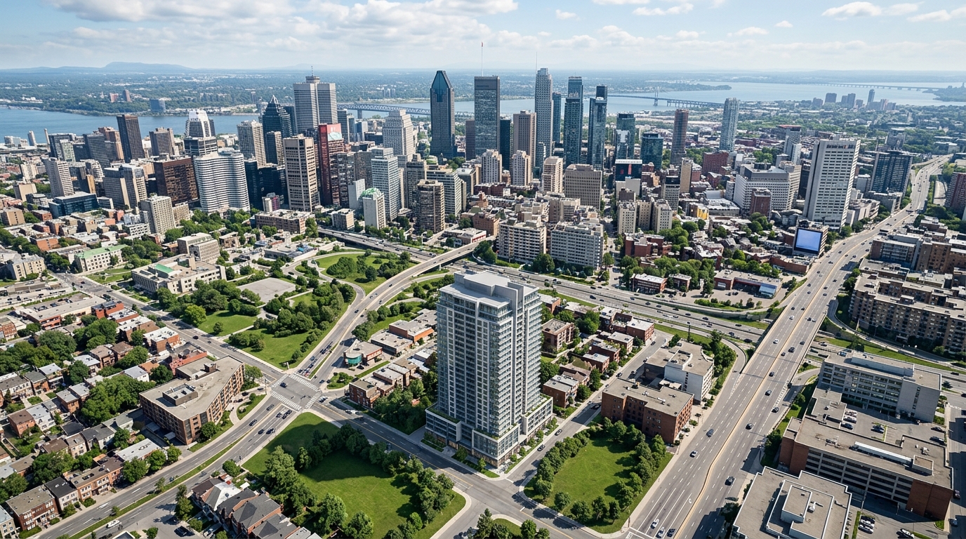
This interactive presentation serves as an illustrative demonstration of the Georivo platform, specifically highlighting the capabilities of the neighborhood-context presentation. It is designed to show how real estate professionals can contextualize an urban condominium within its surrounding metropolitan environment. Because this is a demo, it does not represent an actual commercial transaction, a specific real estate listing, or a verified customer result. The names, routes, travel times, and building conditions shown in this example are purely illustrative and intended to demonstrate the platform's features rather than depict an active listing.
The visual assets and spatial relationships depicted in this story are generated using licensed geospatial imagery rather than physical drone footage. This distinction is critical for compliance and marketing accuracy. Physical drone operations are often restricted in dense urban zones due to local aviation regulations, privacy laws, and safety concerns. By contrast, a virtual 3D environment allows marketers to showcase a property's regional context safely, legally, and without the high costs of physical aerial production. Georivo relies on licensed geospatial imagery to construct these interactive 3D location stories, ensuring that the visualization is distinct from real-time physical photography or drone-captured video.
All names, routes, travel times, and building conditions shown in this example are purely illustrative. Marketers using the platform must independently verify all local information, transit schedules, and legal boundaries before publishing a live story for a commercial listing. This demo highlights editorial selection and spatial context, not a verified customer result, meaning that any real-world application requires independent verification of all property-related claims.
Live or Poster Demonstration
The Georivo platform supports multiple viewing modes to accommodate different marketing channels and user preferences. This demonstration can be experienced as a live, interactive 3D embed or as a static poster presentation. In the live mode, the story utilizes prepare the automatic location presentation to guide the viewer through a curated sequence of locations, ensuring a smooth and controlled narrative flow. Once the programmed playback concludes, the system transitions to a live exploration mode, allowing the viewer to interactively pan, tilt, and zoom to inspect the surrounding neighborhood at their own pace.
For channels where interactive embeds are not supported, the poster format provides a high-quality static representation of the key frames. This ensures that the spatial context is preserved even in print media, email newsletters, or static listing portals. By offering both live and static options, real estate professionals can maintain visual consistency across all marketing touchpoints while clearly communicating the property's geographic relationship to key local amenities.
Relocating-Buyer Scenario
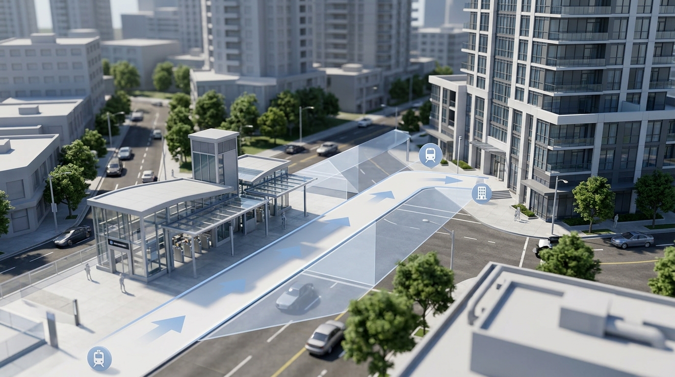
Relocating buyers face unique challenges when searching for a home in an unfamiliar city. Traditional real estate listings often rely on static, flat maps that fail to convey the verticality, density, and true spatial relationships of an urban environment. A buyer moving from hundreds of miles away cannot easily determine if a nearby park is accessible or if a transit station requires navigating complex intersections. This distance gap often leads to uncertainty and hesitation during the home-buying process.
This demo addresses the needs of a hypothetical relocating buyer who prioritizes daily convenience and urban lifestyle integration. By providing an interactive, three-dimensional walkthrough, the story helps bridge the distance gap, offering a realistic sense of place that static photos cannot replicate. The buyer can visually trace the path from the condo building to essential daily destinations before ever booking a flight for an in-person viewing. This helps remote buyers build a mental map of the neighborhood, increasing their confidence in the property's location.
Selected Places
To create an effective neighborhood narrative, marketers must select points of interest that reflect the actual daily routines of their target demographic. In this urban condo demo, we have selected four primary points: the subject condominium building, a local transit station, a nearby park, and a city-center reference point. These locations represent the core pillars of urban living: shelter, transit, recreation, and commercial connection. Selecting the right amenities is crucial for providing meaningful context without overwhelming the viewer.
The selection process requires careful editorial curation. Including too many markers can clutter the 3D space and distract the viewer from the primary listing. By focusing on a few high-value amenities, the story maintains a clean visual hierarchy, guiding the viewer's attention naturally from one point to the next. Each selected point serves a specific narrative purpose: the transit station highlights regional accessibility, the park emphasizes immediate lifestyle benefits, and the city-center reference establishes the macro-level positioning of the neighborhood within the broader metropolitan area.
Narrative Order and Camera Path
The sequence in which information is presented determines how well a buyer comprehends the spatial layout. This demo utilizes a programmed camera path that begins with a wide, macro-level view of the city-center reference point. This initial frame helps the buyer orient themselves within the city's overall geography, establishing a sense of scale and direction. Starting with a broad perspective allows the viewer to understand where the neighborhood sits in relation to major urban landmarks.
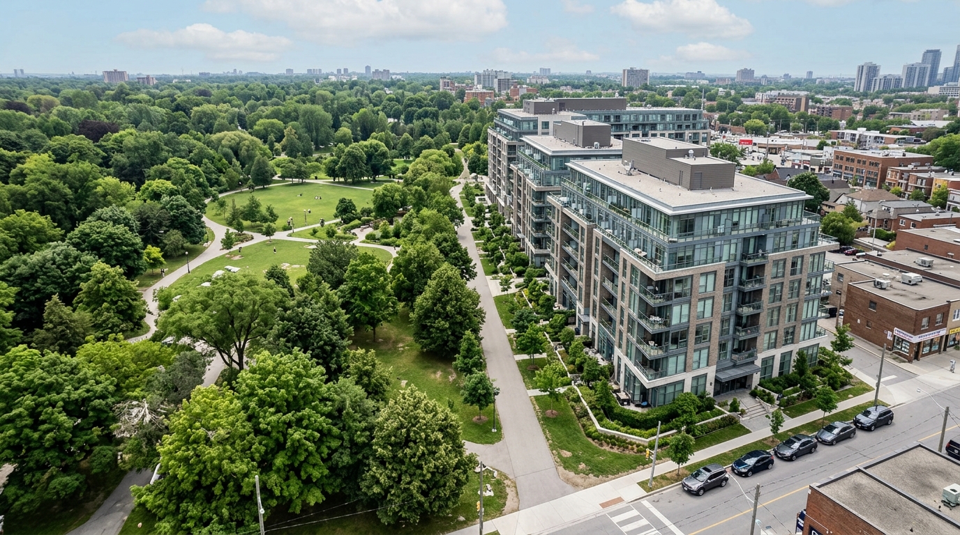
From the city center, the camera smoothly glides down to the local transit station, illustrating the connection between the urban core and the immediate neighborhood. The path then sweeps across the green canopy of the local park, showcasing the natural buffer zone available to residents, before finally resolving at the main entrance of the condominium building. This top-down, macro-to-micro narrative flow is highly effective for remote buyers, mimicking the natural cognitive process of exploring a new city by starting with the big picture and gradually focusing on the specific details of the home base.
Buyer Learning and Spatial Comprehension
What makes an interactive 3D story superior to traditional media is the depth of spatial comprehension it delivers. When a buyer views this demo, they do not just see that a park is nearby; they see how the park sits in relation to the surrounding buildings, the street grid, and the condo itself. They can observe the physical scale of the neighborhood, including building heights and open spaces, which helps manage expectations and builds trust. When remote buyers have access to a realistic spatial model, they are less likely to feel surprised or disappointed during an in-person visit.
The visual context clarifies details that are difficult to describe in text, such as the density of the immediate block or the presence of neighboring structures. Furthermore, once the programmed camera path concludes, the story transitions to a live exploration mode. This allows the buyer to take control of the camera, panning and zooming to inspect specific streets, nearby retail corridors, or pedestrian paths. This active engagement transforms the buyer from a passive viewer into an active explorer, deepening their understanding of the local environment.
Build Notes and Configuration
Constructing this demo within the Georivo platform involves a straightforward workflow designed for real estate professionals. The process begins by entering the verified address of the condo building to confirm 3D coverage. Once coverage is verified, the user places custom markers for the selected points of interest, including the transit station, park, and city-center reference. The camera path is programmed by setting keyframes that define the starting angle, transition speed, and final focus point for each location, ensuring a consistent, high-quality viewing experience across all devices.
The final output is secured using domain-bound embeds, which restrict playback to authorized websites, protecting the marketer's digital assets from unauthorized distribution. Additionally, protected share links can be generated for direct communication with prospective buyers via email or messaging platforms. This flexibility allows marketing teams to integrate the interactive story seamlessly into their existing digital campaigns and listing portals, ensuring that the spatial context is delivered securely to the target audience.
Limitations and Verification
This page serves strictly as an illustrative demonstration of the Georivo platform and does not represent a real-world customer case study or a verified transaction. The spatial relationships, locations, and routes depicted in this demo are for educational purposes only and must not be relied upon for navigational, legal, or purchasing decisions. Georivo does not guarantee the accuracy, completeness, or currency of the licensed geospatial imagery used in this demo. Geospatial data is updated periodically by third-party providers and may not reflect recent physical changes, ongoing construction, road closures, or current building conditions.
No legal, financial, or navigational guarantees are associated with this demonstration. Distances, travel times, and route behaviors are approximate estimates and can vary significantly based on weather, traffic, individual mobility, and local infrastructure changes. Marketers are responsible for ensuring that all claims made in their custom annotations comply with local real estate advertising regulations and that any property boundaries or legal rights are verified independently through official documentation.
| Point of Interest | Narrative Purpose | Visual Focus | Buyer Insight |
|---|---|---|---|
| Condo Building | Primary Subject | Facade and Immediate Block | Establishes the home base and immediate streetscape |
| Transit Station | Daily Commute | Walking Route Corridor | Demonstrates proximity to regional transit networks |
| Local Park | Lifestyle and Recreation | Green Space and Buffer Zone | Highlights nearby leisure options and environmental balance |
| City-Center Reference | Macro Location Context | Skyline and Major Arterials | Positions the property within the broader metropolitan area |
Steps to Create an Urban Condo Story
- Enter the verified property address into the Georivo platform to check 3D coverage.
- Select up to three key nearby amenities that match your target buyer profile.
- Program the camera path to transition smoothly between the selected points of interest.
- Add brief, objective text annotations to describe each location without making absolute travel time guarantees.
- Generate and test the domain-bound embed code on your listing website.
By guiding the buyer's eye from the macro city context down to the micro neighborhood level, interactive 3D stories replace anxiety with clarity for relocating clients.
FAQ
How does this 3D presentation differ from physical drone footage?
Unlike physical drone footage which requires on-site pilots, permits, and favorable weather, Georivo uses licensed geospatial imagery to construct a fully interactive, virtual 3D environment. This allows users to explore the area live after the programmed playback concludes.
Can I guarantee exact walking times in the story annotations?
No, you should avoid making absolute guarantees regarding walking or transit times. Use qualified language such as estimated or approximate, as individual walking speeds, traffic conditions, and route changes can vary.
What happens if a buyer wants to look around beyond the programmed path?
Georivo supports live exploration after the programmed camera path finishes. Buyers can pan, tilt, and zoom around the 3D environment to inspect neighboring streets and get a complete feel for the area.
How do domain-bound embeds protect my interactive stories?
Domain-bound embeds restrict the playback of your interactive 3D stories to specific websites that you authorize. This prevents competitors or unauthorized third-party sites from copying and hosting your custom location stories.
Is this demo based on a real, completed real estate transaction?
No, this is an illustrative demonstration designed to show the capabilities of the neighborhood-context presentation. It does not represent a specific customer transaction, and all names, routes, and conditions are illustrative.