
How to Market a Property to Remote Buyers
Build a remote-buyer listing that explains the property, interior, location, nearby places, access, limitations and next viewing step.

Market a property to remote buyers by answering the questions they cannot resolve in person: what the property looks like now, how the interior works, where it sits, which nearby places matter, and how access feels. Combine current photography, plans or tours, documents, and interactive location context. Label limitations clearly and give the buyer a practical next step rather than relying on visual novelty.
Understanding Remote-Buyer Uncertainty
Remote buyers operate under a unique set of information constraints. When evaluating a property from a distance, they cannot rely on the spontaneous observations that occur during a physical walkthrough. They cannot feel the transition from the street to the driveway, observe the proximity of adjacent structures, or easily assess how a property fits within its broader neighborhood. This lack of physical presence naturally introduces uncertainty. To address this, real estate professionals must design listings that systematically answer the fundamental questions remote buyers face.
Traditional marketing methods often emphasize aesthetic appeal over structural and spatial context. While high-quality imagery is important, relying solely on selective photography can sometimes increase a remote buyer's hesitation. If a listing only shows cropped interior views, the buyer may wonder what is being left out of the frame. To build trust, marketing materials must shift from purely promotional content to a structured, informative presentation that provides verifiable answers.
The key to successful remote marketing is to address the specific spatial and geographic questions that cannot be resolved through standard photos. This means explaining what the property looks like in its current state, how the interior spaces connect, where the property sits in relation to the surrounding region, which nearby places are relevant to daily life, and how the physical access to the property feels. Providing this comprehensive overview helps remote buyers evaluate the listing thoroughly before taking the next step.
Building a Verifiable Evidence Stack
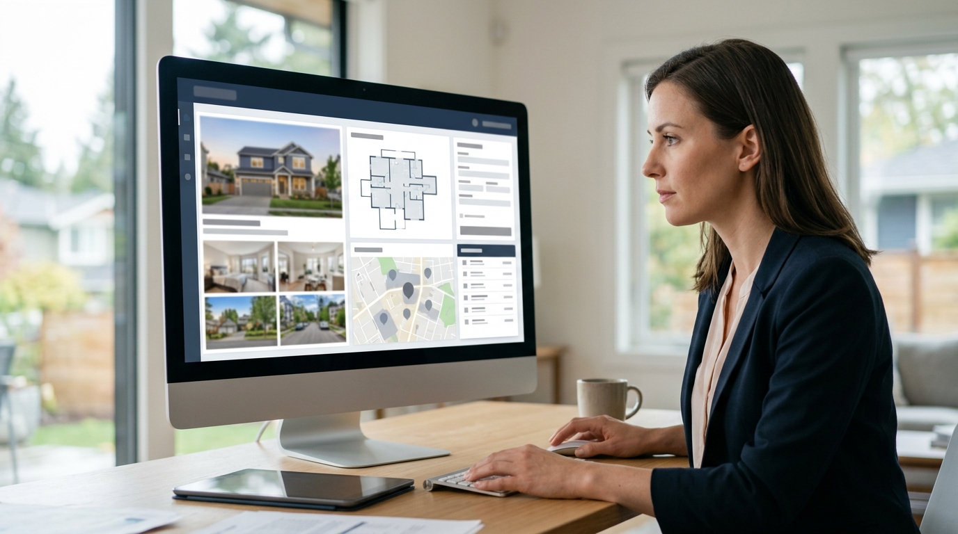
An evidence stack is a coordinated collection of digital assets that work together to verify a property's true characteristics. For a remote buyer, no single piece of media is sufficient on its own. Instead, multiple asset types must be layered to validate one another. This stack begins with current photography that captures the real-time condition of the property. By presenting clear, up-to-date images, you establish a reliable visual baseline that demonstrates the property's current state.
To complement photography, the evidence stack should include detailed interior plans or virtual walkthroughs. These assets help the buyer understand the layout and flow of the home. When reviewing these materials, buyers can cross-reference the visual images with the spatial layout, resolving questions about how rooms connect and where utilities or major features are positioned. To ensure your media collection is complete before publishing, you can consult our real estate listing media checklist, which outlines the essential assets required for a comprehensive property presentation.
The final layer of the evidence stack consists of official property documentation and disclosures. Providing access to tax records, zoning details, and other public documents adds a layer of objective verification to the listing. When remote buyers have direct access to both visual media and official records, they can perform preliminary due diligence with greater confidence. This transparent approach ensures that the buyer is fully informed about the property's physical and legal context from the very beginning.
Developing a Compelling Location Narrative
Understanding the geographic context of a property is often one of the greatest challenges for remote buyers. While they may be able to visualize the interior of a home through photos, they frequently struggle to grasp how the property relates to the surrounding region. Traditional methods of showing location context, such as physical drone footage, have physical and operational limitations. Drone videos are static, weather-dependent, and show only a pre-recorded path, which prevents the buyer from actively exploring the surrounding area.
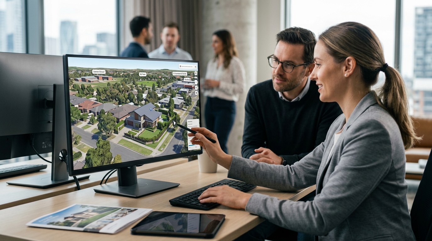
Interactive 3D geospatial visualization provides an alternative approach by allowing remote buyers to explore the broader region at their own pace. It is critical to clearly distinguish this type of visualization from physical drone footage. While drone footage relies on a physical camera capturing video in real time, 3D location stories utilize licensed geospatial imagery to construct a photorealistic digital environment. This allows for prepare the automatic location presentation that guide the viewer through a structured narrative, while still offering the option for live exploration after the playback finishes.
To understand how these regional visualization tools differ from interior-focused media, you can read our 3D property flyover versus virtual tour comparison. By integrating a 3D location story into your listing, you can show the property's position relative to regional landmarks, natural features, and major transit corridors. For a practical demonstration of how high-end properties present this geographic context, you can explore our waterfront villa property flyover example, which illustrates how interactive tools can clarify a property's regional setting.
Mapping the Arrival and Nearby Places
A property's value and utility are deeply connected to its surroundings. Remote buyers need to understand not just the home itself, but how they will interact with the neighborhood on a daily basis. They want to know which nearby places matter—such as schools, parks, shopping centers, and employment hubs—and how those places relate spatially to the property address. Presenting this information clearly helps buyers evaluate whether the location aligns with their lifestyle or operational needs.
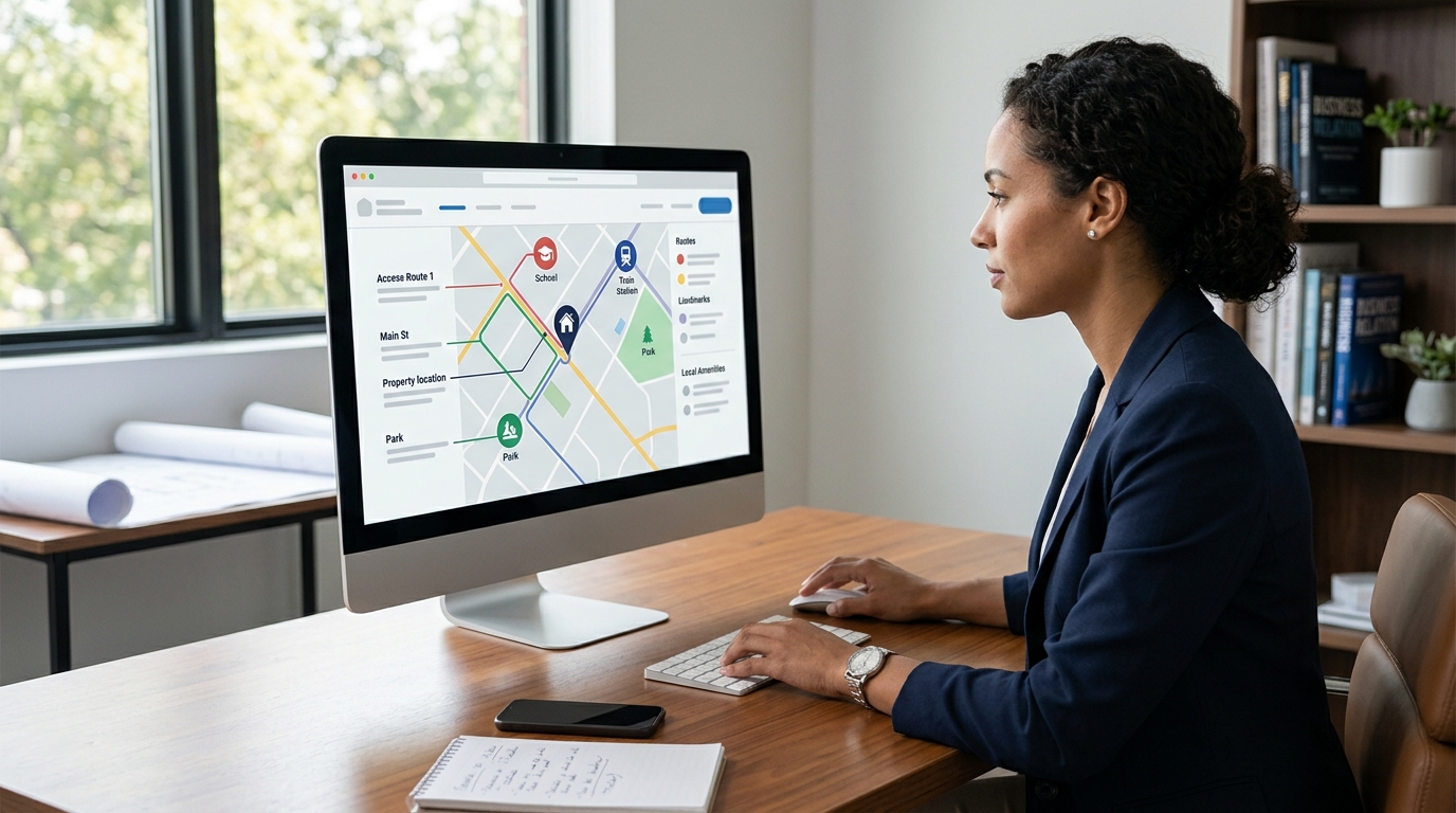
To help buyers understand the physical access to the property, real estate professionals can utilize structured templates designed to map out the arrival experience. By implementing an arrival-context view, you can guide the buyer along the primary routes leading to the property, highlighting key transit points and access roads. This helps the buyer visualize the transition from regional travel corridors to the local neighborhood, making the physical journey feel familiar even before they arrive.
Highlighting nearby places should always be grounded in accuracy. Rather than making general claims about convenience, listings should use interactive tools to show the actual spatial relationships between the property and local points of interest. This objective presentation allows remote buyers to perform their own spatial analysis, evaluating proximity and access routes based on their individual priorities. By providing clear, interactive context, you remove the guesswork from the neighborhood evaluation process.
Establishing Trust Through Complete Disclosure
In remote transactions, trust is established through complete transparency and the objective presentation of facts. Because remote buyers cannot physically inspect the property or its immediate surroundings, they are highly sensitive to any perceived omissions. Attempting to obscure potential drawbacks, such as nearby commercial activity, busy transport corridors, or adjacent developments, is counterproductive. When these details are discovered later in the transaction process, it can lead to a breakdown in trust and cause the transaction to fail.
Presenting complete disclosures upfront is a highly effective way to build credibility with serious remote buyers. If a property is located near a major road or a commercial zone, showing this context clearly in your 3D location stories demonstrates professional integrity. Buyers who understand the full context of the property from the start are better positioned to make informed decisions. This transparency ensures that the inquiries you receive are from highly qualified buyers who are fully aware of the property's actual setting.
To maintain this level of trust, all visual and textual assets must be clearly labeled and contextualized. It is essential to inform buyers that 3D location stories are visualizations designed to show regional context, rather than live, real-time feeds. Any limitations in the imagery or data coverage should be acknowledged openly. By setting clear expectations and providing verified information, you protect your professional reputation and give remote buyers the confidence they need to proceed with their evaluation.
Limitations
While interactive 3D location stories and digital marketing assets are highly effective tools for remote property presentation, they have specific limitations that must be clearly understood. These visualizations rely on licensed geospatial imagery, which is updated periodically rather than in real time. Consequently, recent physical changes to the property or its immediate surroundings—such as new construction, recent road developments, or seasonal landscaping changes—may not be reflected in the digital model. Listing professionals must manually note any such recent changes to ensure the buyer has accurate information.
It is also critical to emphasize that 3D geospatial visualizations are designed solely for contextual and illustrative purposes. They do not represent, prove, or establish legal property boundaries, land surveys, or zoning lines. Remote buyers must not rely on these visual tools as a legal source of truth. All physical dimensions, property lines, and structural details must be independently verified through official municipal records, certified land surveys, and professional physical inspections before any transaction is finalized.
Finally, the level of detail in geospatial imagery can vary depending on the geographic region. While urban and suburban areas often feature highly detailed, photorealistic 3D coverage, rural or remote locations may have lower-resolution data. Real estate professionals should always check the available coverage for a specific property address before building a location story. When coverage limitations exist, they should be supplemented with current ground-level photography and official documentation to ensure a complete and accurate presentation.
Your Remote-Buyer Listing Publishing Checklist
Before publishing a listing designed for remote buyers, it is essential to conduct a comprehensive review of all digital assets. Because remote buyers often access listings from various locations and on multiple device types, all interactive elements, 3D tours, and document downloads must load reliably and function smoothly. Technical issues, such as broken links or slow-loading media, can create frustration and undermine the professional credibility of the listing.
To begin building your remote-friendly property assets, you can enter a property address into our interactive property tool. Once your 3D location story, neighborhood story, or arrival guide is generated, ensure that you implement secure publishing methods. Utilizing domain-bound embeds allows you to display your interactive media securely on your website, while protected share links ensure that your content is shared only with authorized parties. Organizing these assets logically on your page helps buyers navigate the information systematically.
The final step in preparing your listing is to establish a clear, low-friction next step for the remote buyer. Rather than relying on visual novelty to maintain interest, provide a direct path to action. This could include scheduling a live video walkthrough with you from the property, booking an accompanied physical visit, or accessing a secure portal to review official disclosure documents. By guiding the buyer clearly from exploration to the next practical step, you facilitate a structured and transparent evaluation process.
| Asset Type | Remote Buyer Question Answered | Best Practice Implementation | Verification Method |
|---|---|---|---|
| Interior Media | How the interior works | Combine plans, virtual tours, or photography. | Cross-reference multiple interior sources. |
| 3D Location Story | Where the property sits | Use licensed geospatial imagery with prepare the automatic location presentation. | Check address coverage and verify against official documents. |
| arrival context | How access feels | Map the property address and nearby places. | Guide the user through the entry path. |
| location context | Which nearby places matter | Highlight nearby points of interest. | Verify places of interest manually. |
| Document Packet | What official records state | Provide disclosures and plans. | Consult local municipal records. |
Five Steps to Build a Remote-Buyer Evidence Stack
- Gather current photography and interior plans or virtual tours to represent the physical structure.
- Check the property address coverage using an interactive 3D location tool.
- Build a neighborhood story and arrival guide using licensed geospatial imagery.
- Compile all relevant property documents and disclosures to address buyer questions.
- Configure protected share links or domain-bound embeds and provide a clear next step for the buyer.
When marketing to remote buyers, transparency is your most valuable asset. A buyer who can clearly evaluate both the interior details and the surrounding geographic context is empowered to take the next practical step with confidence.
FAQ
How do remote buyers verify listing details?
Remote buyers can verify details by cross-referencing provided photography with interior plans, requesting live video walkthroughs, and reviewing official municipal documents.
How does a 3D location story differ from physical drone footage?
Drone footage is physical video captured by a camera in real time, whereas 3D location stories use licensed geospatial imagery to build a photorealistic 3D environment with prepare the automatic location presentation and live exploration.
Can 3D location stories be used to verify legal property boundaries?
No, 3D location stories are for contextual and illustrative purposes only and do not replace professional physical inspections or certified legal land surveys.
What are the limitations of geospatial imagery in remote listings?
Geospatial imagery is not a live feed and is updated periodically, meaning it may not reflect recent physical changes, local construction, or seasonal variations.
How can real estate professionals secure their interactive listing media?
Professionals can use domain-bound embeds and protected share links to control where and how their interactive media is displayed and shared.