
Waterfront Villa 3D Property Flyover Example
See how a demo waterfront-villa story can relate the property to coastline, marina and access without claiming current or legal precision.
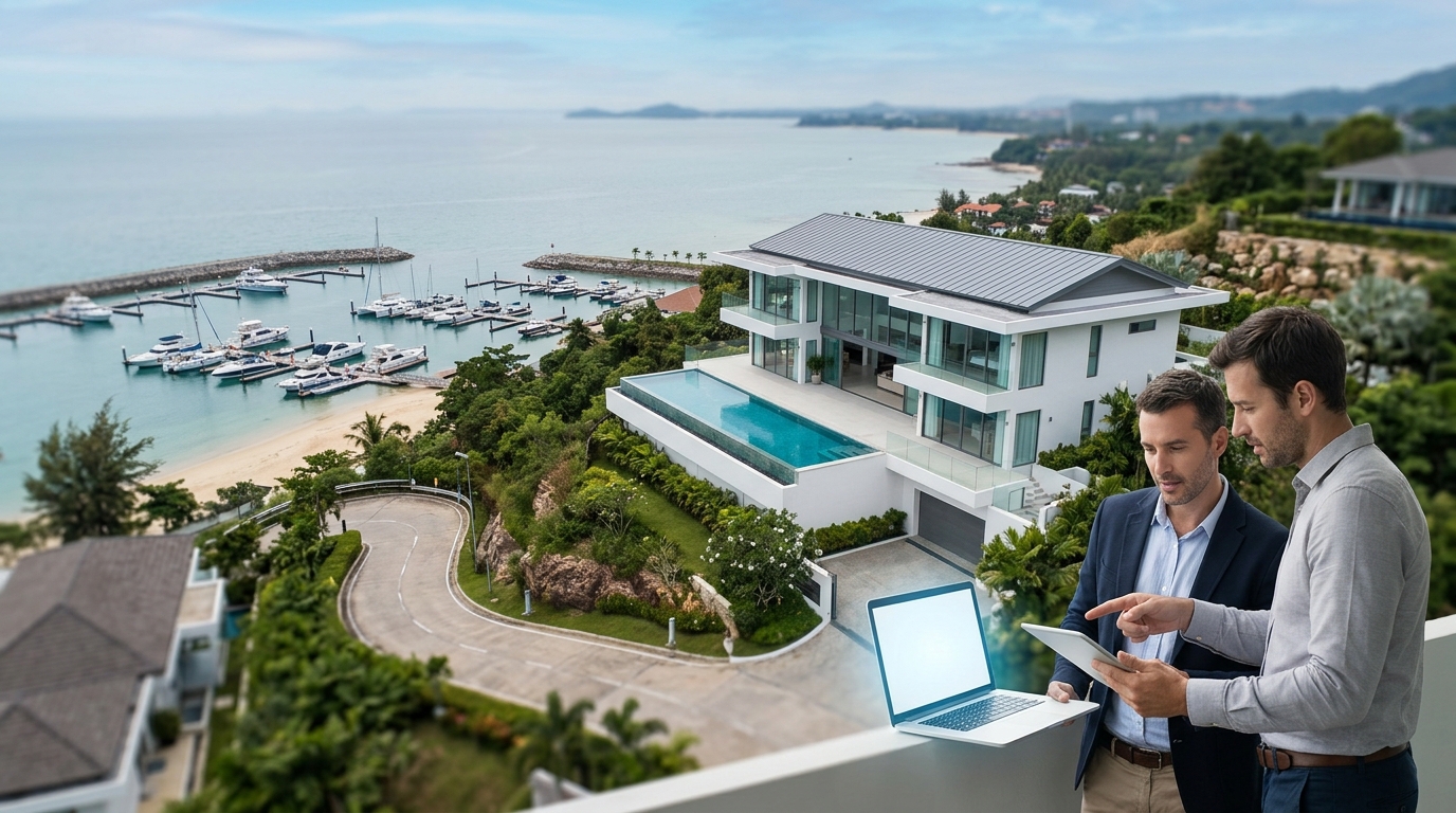
This demo shows how a waterfront-villa flyover can explain the relationship between a confirmed property, the coastline, a marina or beach, and the general access direction. It is an illustrative scenario, not a customer case or current survey. The scene does not establish legal boundaries, exact distances, route conditions, property condition, or the present availability of nearby places.
Demo disclosure
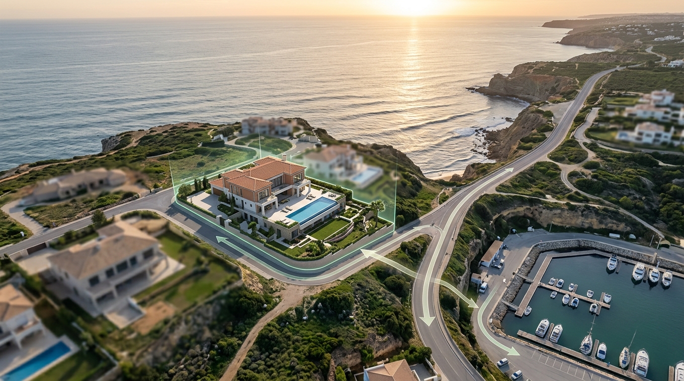
This interactive 3D property flyover is a simulated demonstration designed to showcase the capabilities of the Georivo platform. It does not represent an active real estate listing, a specific transaction, or a real customer case study. Instead, this scenario serves as an educational model for property marketers, developers, real estate agents, hospitality teams, and destination teams who need to present geographic context to clients. By using a simulated environment, we can explore how licensed geospatial imagery is used to construct 3D location stories without implying that this specific visualization represents a current, legally binding, or physically verified property status.
It is important for users to understand that this demonstration does not establish legal boundaries, exact distances, route conditions, property condition, or the present availability of nearby places. Real estate professionals should always advise clients that virtual visualizations are designed to provide general geographic context rather than precise physical or legal data. By maintaining a clear distinction between illustrative marketing tools and certified physical surveys, professionals can use 3D location stories responsibly and effectively within their marketing workflows.
Live or poster demonstration
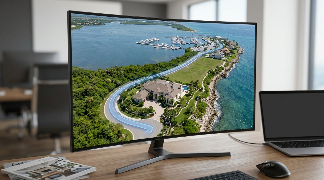
A Georivo location story can be experienced in multiple formats, depending on how it is shared or embedded. In a live demonstration, the viewer is presented with an interactive, embeddable 3D environment. This environment supports prepare the automatic location presentation that automatically guide the viewer through a pre-defined path, highlighting key points of interest. Once the programmed playback concludes, the system allows for live exploration, enabling the viewer to manually pan, tilt, zoom, and navigate around the 3D space to explore the surrounding area at their own pace.
Alternatively, a poster demonstration or static representation can be used to capture specific angles or views generated by the 3D model. Whether presented as a live interactive experience or a static poster, these visualizations rely entirely on licensed geospatial imagery rather than physical drone flights. This distinction is crucial for marketing professionals to understand, as virtual visualizations do not require physical access to the site, drone permits, or specific weather conditions. It allows for a consistent and scalable way to illustrate geographic context across various property types.
Scenario
The scenario developed for this demonstration focuses on a hypothetical waterfront villa being evaluated by a remote buyer. Remote buyers often face significant challenges when trying to understand the geography of a property from a distance. Standard listing photos can make a beach or marina look close, but they do not show the actual spatial relationship or the general access path between the property and these points of interest. This lack of context can make it difficult for buyers to evaluate whether a property meets their specific geographic preferences.
In this illustrative scenario, the property marketer uses a 3D location story to explain the relationship between a confirmed property address, the coastline, a nearby beach or marina, and the general access direction. By placing these elements in a continuous 3D space, the visualization helps the remote buyer understand how the property is oriented relative to the water and local infrastructure. This scenario is designed to simulate a typical marketing challenge and demonstrate how virtual 3D tools can be configured to address it without claiming current or legal precision.
Selected points
To construct a cohesive location story for this waterfront villa demonstration, four primary points of interest have been selected: the property itself, the coastline, the beach or marina, and the access road. Each of these points serves a specific narrative purpose within the visualization, helping to build a complete picture of the property's general setting. The property point acts as the central anchor, establishing the location of the main residence and serving as the focal point for the camera movements.
The coastline point is selected to illustrate the general proximity of the property to the water, though it does not define legal boundaries or exact high-water marks. The beach or marina point represents a local recreational feature, showing where water access or boating facilities might be located in the general vicinity, though their current availability or public access rights are not verified by this tool. Finally, the access road point is selected to show the general direction from which a visitor would approach the property, helping to orient the viewer.
Camera logic
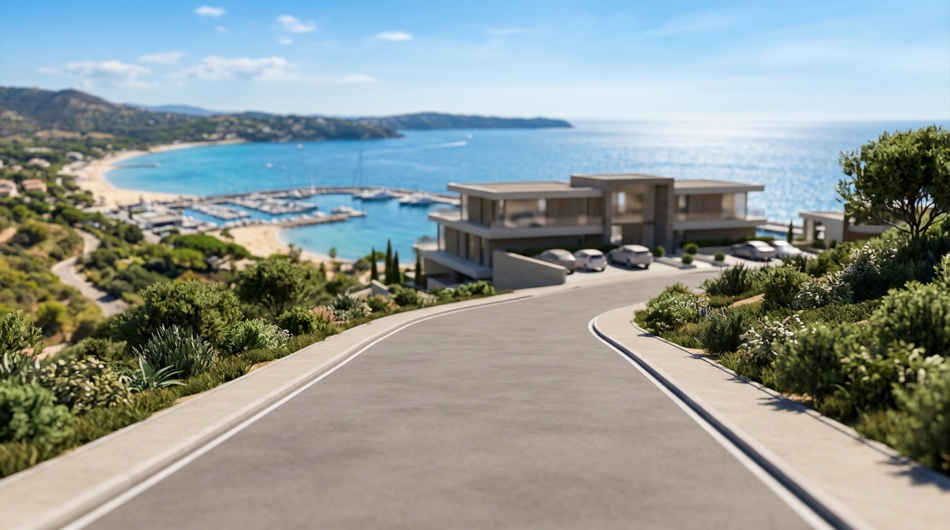
The camera logic in this demonstration is programmed to move smoothly between the selected points of interest, creating a clear and logical narrative flow. The sequence begins with an elevated view of the access road, establishing the general entry point and orientation of the property. From there, the camera glides smoothly toward the main residence, rotating to showcase the property from different angles and establishing its position relative to the immediate surroundings.
Once the property has been established, the camera sweeps outward toward the coastline, emphasizing the spatial relationship between the home and the water. The camera path then transitions toward the beach or marina, providing a wider perspective of the local area before concluding with a comprehensive view that encompasses all four selected points. These prepare the automatic location presentation help maintain a sense of scale and orientation, which is often lost when jumping between disconnected static photos.
Buyer learning
By viewing this 3D location story, a remote buyer can gain a better understanding of the general spatial relationships that define the property's setting. They can see how the property is positioned relative to the coastline, where the nearest beach or marina is located, and how the access road leads to the home. This geographic context helps buyers visualize the layout of the area and understand how the different elements interact, which is difficult to achieve using traditional 2D marketing materials alone.
In addition to the programmed camera path, the live exploration feature allows buyers to interact with the 3D scene directly. After the guided flyover finishes, the buyer can pan, tilt, and zoom to examine the neighborhood context at their own pace. This self-guided exploration can help answer specific questions the buyer might have about the surrounding area, such as the general density of neighboring structures or the layout of nearby streets, without requiring an immediate physical visit or relying on static imagery.
What it does not show
While this 3D property flyover is a powerful tool for illustrating geographic context, there are several critical elements that it does not show. First and foremost, the visualization does not establish legal boundaries, exact property lines, or official easements. The lines and markers displayed in the 3D scene are for illustrative purposes only and must not be relied upon for legal or zoning determinations. A professional land survey is always required to establish precise property boundaries.
Second, the visualization does not guarantee exact distances, travel times, or specific route conditions. While the camera path shows the general direction of the access road and the proximity of the beach or marina, it does not account for actual road quality, traffic, pedestrian access, or terrain obstacles. Furthermore, the licensed geospatial imagery used in the platform is historical and may not reflect recent construction, remodeling, landscaping changes, or seasonal environmental shifts such as beach erosion or coastline changes.
Build notes
Creating a waterfront villa location story involves a structured configuration process within the Georivo platform. The process begins by entering the verified property address to generate the baseline 3D environment. The platform then checks address coverage and loads the photorealistic 3D scene using licensed geospatial imagery. Once the scene is loaded, the user selects the property-focused presentation, which is specifically designed to highlight a single property and its immediate surroundings.
Next, the user identifies and marks the key points of interest, which in this scenario include the property, the coastline, the beach or marina, and the access road. The user can then program the camera path, defining the sequence of movements, angles, and altitudes that the camera will take as it transitions between these points. Once configured, the story can be shared via protected share links or embedded directly on authorized websites using domain-bound embeds, ensuring that the visualization is presented securely.
Limitations and suitability
Use this material for presentation and decision support, not as a substitute for independently verified source information. Confirm routes, distances, access, availability, imagery, legal boundaries, platform requirements, and current conditions with the relevant authoritative source before publication or use.
Approved boundaries for this page: Illustrative demo, not a customer case; No legal, navigational, distance, condition, or current-imagery guarantee.
| Element | Visualization Purpose | Verification Method |
|---|---|---|
| Property | Establishes the main focus of the flyover | Verify address registry and physical boundaries manually |
| Coastline | Illustrates general proximity to the water | Consult official geographic surveys and local maps |
| Beach or marina | Shows nearby leisure or docking areas | Confirm public access rights and operating status independently |
| Access road | Indicates the general direction of approach | Check local municipal records for current road conditions |
Steps to configure a waterfront property showcase
- Enter the verified property address to generate the baseline 3D environment.
- Select the property-focused presentation to frame the primary residence.
- Identify and mark the coastline, beach or marina, and access road as key points.
- Program the camera path to sweep smoothly from the access road to the waterfront.
- Review the preview to ensure the transition between points is clear and continuous.
- Generate the secure share link or copy the domain-bound embed code for your listing.
Using interactive 3D visualization allows real-estate marketers to explain the geographic context of a waterfront listing clearly, helping remote buyers understand the general layout before they schedule an in-person visit.
FAQ
How does this 3D flyover help remote buyers?
It helps remote buyers visualize how the property sits in relation to the coastline and access roads, offering a spatial understanding that static photos cannot provide.
Can I use this visualization as a legal boundary survey?
No. This visualization is for illustrative purposes only and does not establish legal boundaries, exact property lines, or official land surveys.
Is the geospatial imagery shown in the flyover guaranteed to be current?
No. The imagery is based on licensed geospatial data which may not reflect recent construction, seasonal changes, or current property conditions.
Does the flyover show real-time traffic or road conditions?
No. The visualization shows static access roads and does not provide real-time traffic updates, road closures, or physical road conditions.
How do I embed this waterfront flyover on my real-estate website?
You can use domain-bound embeds or protected share links generated by the platform to display the interactive story directly on your listing page.
What is the difference between this 3D visualization and physical drone footage?
This visualization uses licensed geospatial data to prepare the automatic location presentation virtually, avoiding the logistical, weather, and regulatory challenges of physical drone flights.