
3D Property Flyover vs Virtual Tour
A property flyover explains exterior location context; a virtual tour shows interior space. Compare their roles and learn when to use both.

A 3D property flyover explains where a property sits and how it relates to surrounding places, terrain, and approach. A virtual tour explains interior rooms, layout, and finishes. Neither is a universal replacement for the other. Use a flyover when location context affects the decision, a virtual tour when interior understanding matters, and both when a remote buyer needs the complete story.
Decision summary
Real estate professionals, including agents, property marketers, developers, hospitality teams, and destination teams, must constantly evaluate how to present properties to prospective clients. Choosing the right digital media asset is not about finding a single tool that does everything; instead, it requires understanding the distinct roles of different visualization technologies. The two most prominent interactive assets used in modern property marketing are the 3D property flyover and the interior virtual tour. While both terms are sometimes used interchangeably by those outside the industry, they serve fundamentally different purposes, operate on entirely different spatial scales, and address separate phases of the buyer's decision-making process.
A 3D property flyover is designed to establish the macro context of a listing. It answers the critical questions of where a property sits in the world, how it relates to its surrounding neighborhood, and what the terrain and local approach look like. Conversely, a virtual tour is focused on the micro details of the building's interior. It guides the viewer through individual rooms, explaining the layout, floor plan flow, and finishes. Understanding the strengths and operational boundaries of each format is essential for building an effective media stack that communicates a property's complete story without misleading the viewer.
Exterior context
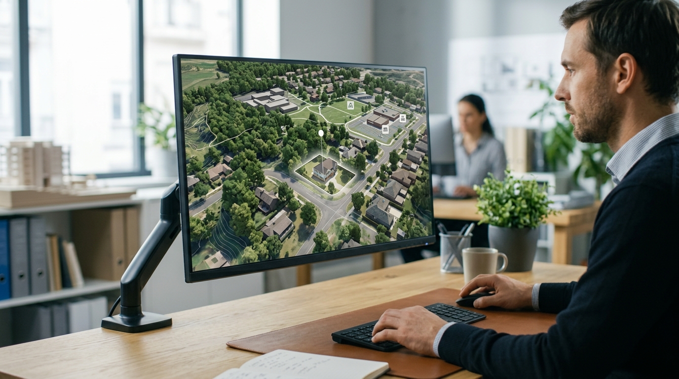
The exterior context of a property is often the primary factor in a buyer's initial screening process. A 3D property flyover utilizes licensed geospatial imagery to construct an interactive, photorealistic 3D location story. This visualization allows viewers to see the property in relation to nearby places, local landmarks, and regional geography. Instead of relying on flat, two-dimensional maps that fail to convey elevation or spatial relationships, a flyover provides an intuitive sense of scale and position. Real-estate professionals can prepare the automatic location presentation to guide the viewer along designated paths, such as showing the approach to the property or highlighting key neighborhood assets.
It is critical to distinguish a 3D property flyover from physical drone footage. While drone footage relies on an on-site pilot capturing live-action video of a physical structure, a 3D property flyover is a digital visualization generated from licensed geospatial data. This distinction is important for operational planning, as a digital flyover does not require physical site access, weather coordination, or airspace permits. It allows marketers to showcase the broader geographic setting, including terrain variations and proximity to major transit or community hubs, using pre-existing licensed imagery. Furthermore, after the programmed playback ends, these interactive stories allow for live exploration, giving the viewer the freedom to navigate the surrounding map environment at their own pace.

Interior evidence
Once a prospective buyer understands the geographic setting of a property, their focus shifts to the interior environment. This is where the virtual tour serves as the primary source of spatial evidence. A virtual tour is designed to explain the interior rooms, layout, and finishes of a building. It provides a self-guided, step-by-step walkthrough that allows a viewer to navigate from room to room, assessing how spaces connect and evaluating the physical condition of the interior surfaces, cabinetry, and fixtures.
Unlike the macro perspective of a flyover, a virtual tour operates entirely within the boundaries of the structure. It is typically captured using specialized on-site imaging equipment that records 360-degree views of each room. This format is highly effective for answering practical questions about the interior living or working space, such as the relationship between the kitchen and the living area or the layout of bedrooms. By providing a detailed digital walkthrough of the interior, real-estate professionals can offer remote buyers a clear understanding of the indoor environment before they commit to an in-person visit.
Buyer questions
The home-buying or property-evaluation journey is characterized by a series of sequential questions. In the early stages, buyers are typically highly focused on location-based criteria. They need to know how the property sits on its lot, whether the surrounding terrain is sloped or flat, and how the building relates to neighboring properties and local points of interest. A 3D property flyover directly addresses these macro-level questions by visualizing the property's exterior context and its relationship to nearby places. This helps buyers quickly determine if the location aligns with their lifestyle or operational needs.
As the buyer progresses further into the decision-making process, their questions become much more specific to the daily experience of occupying the space. They begin to ask about room dimensions, the placement of doors and windows, the quality of interior finishes, and the overall flow of the floor plan. These micro-level questions cannot be answered by exterior geospatial imagery. Instead, they require the detailed interior evidence provided by a virtual tour. By recognizing which questions each tool is designed to answer, real-estate professionals can deploy the appropriate asset at the right moment in the marketing cycle.

When to combine formats
For many properties, especially those targeting remote buyers, pre-construction developments, or high-value listings, relying on a single media format can leave significant information gaps. If a listing only features a virtual tour, remote buyers may remain uncertain about the surrounding neighborhood, the terrain, or how to approach the property. Conversely, if a listing only features a 3D flyover, buyers cannot evaluate the interior layout or finishes. Combining both formats creates a comprehensive digital presentation that addresses both the macro and micro aspects of the property.
When integrating these formats, real-estate professionals can structure a logical user flow that mirrors a physical property visit. The presentation can begin with a 3D property flyover to establish the neighborhood story and location context. Once the viewer has explored the surrounding area and understands the property's setting, they can transition to the interior virtual tour to examine the individual rooms and finishes. To facilitate this integration, platforms like Georivo support domain-bound embeds and protected share links, allowing marketers to present these interactive assets securely within their own websites or share them directly with qualified clients.
Limitations
While 3D property flyovers and virtual tours are powerful visualization tools, they each have distinct technical and operational limitations that must be clearly understood. A 3D property flyover is a digital visualization based on licensed geospatial imagery; it is not a live video feed and does not reflect real-time conditions, temporary structures, or recent physical changes to the property or its surroundings. Furthermore, a 3D flyover must never be represented as a source of legal truth regarding property lines, exact lot boundaries, or land ownership. Users must also ensure that their use of these visualizations complies with the relevant terms of service, such as the attribution and permitted-use rules set forth in the Google Maps Platform Terms of Service for live map experiences. Additionally, the availability and detail of a 3D flyover depend entirely on the geospatial coverage of the target address, which should be verified using an address coverage check.
Virtual tours also have clear operational boundaries. Because they require on-site imaging, they cannot be easily produced for properties that are inaccessible, under active construction, or where occupant privacy prevents interior capture. A virtual tour is also limited by its inability to show the external neighborhood context; it cannot reveal what lies immediately outside the front door or how the property relates to the broader community. Real-estate professionals must be careful not to present interior virtual tours in a way that obscures negative exterior factors, and they should always clearly distinguish simulated or staged interior elements from the actual physical state of the property.
Media-stack example
To build an effective real-estate listing media stack, professionals must select and organize their digital assets based on the specific communication goals of each marketing channel. A balanced media stack uses each tool for its intended purpose: static photography captures high-quality snapshots for general listings, a 3D property flyover establishes the exterior location context and neighborhood story on landing pages, and an interior virtual tour provides the detailed spatial walkthrough for buyers who are ready to evaluate the indoor layout.
For example, a developer marketing a new residential project might use a 3D property flyover to show how the development sits within the existing urban or suburban terrain, highlighting proximity to parks and transit. They can then pair this with an interior virtual tour of a model unit to demonstrate the planned finishes and room layouts. By combining these assets using secure, domain-bound embeds, the developer can provide a complete, interactive representation of the property that guides remote buyers from the broad geographic context down to the finest interior details, all within a single, cohesive digital experience.
| Feature | 3D Property Flyover | Virtual Tour |
|---|---|---|
| Primary Focus | Exterior location, terrain, and neighborhood context | Interior rooms, layout, and finishes |
| Data Source | Licensed geospatial imagery | On-site interior scans or photography |
| Supported Flows | complete property page, location context, and arrival context | Room-to-room self-guided navigation |
| Key Capabilities | prepare the automatic location presentation and live exploration after playback | Detailed inspection of indoor spaces and finishes |
Steps to Implement a Dual-Media Property Presentation
- Perform an address coverage check to verify geospatial data availability for the property.
- Select the appropriate flow, such as complete property page, location context, or arrival context.
- Identify key nearby places and prepare the automatic location presentation to highlight the location context.
- Capture the interior rooms, layout, and finishes using on-site interior scanning or photography.
- Integrate both assets on your listing page using secure, domain-bound embeds.
- Distribute the interactive location story and interior tour to remote buyers using protected share links.
A 3D property flyover explains where a property sits and how it relates to surrounding places, terrain, and approach. A virtual tour explains interior rooms, layout, and finishes. Neither is a universal replacement for the other.
FAQ
Does a 3D property flyover use physical drone footage?
No. A 3D property flyover is a digital visualization generated from licensed geospatial imagery. It does not require physical drone flights, on-site pilots, or airspace permits.
Can a 3D property flyover show legal property boundaries?
No. A 3D property flyover is designed to provide location context, terrain visualization, and neighborhood relationships. It is not a source of legal truth and should not be used to verify exact lot lines or property boundaries.
What templates or flows are supported by Georivo?
The platform supports three distinct flows: complete property page, location context, and arrival context, each designed to highlight different aspects of a property's location.
How can I share these interactive 3D location stories?
You can share them securely using protected share links or integrate them directly into your website using domain-bound embeds.
Can viewers interact with the 3D flyover after the camera movement ends?
Yes. After the programmed camera playback completes, the visualization supports live exploration, allowing viewers to navigate the surrounding map environment.
How do I verify if a property address is supported?
You can perform an address coverage check on the platform to verify the availability of the licensed geospatial imagery for your specific location.